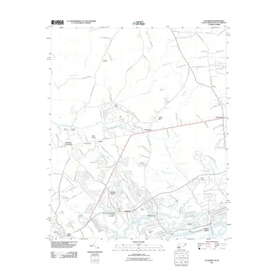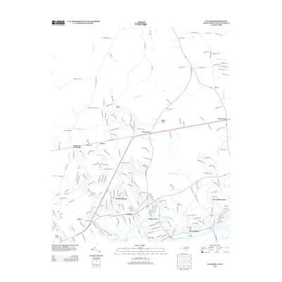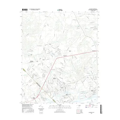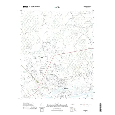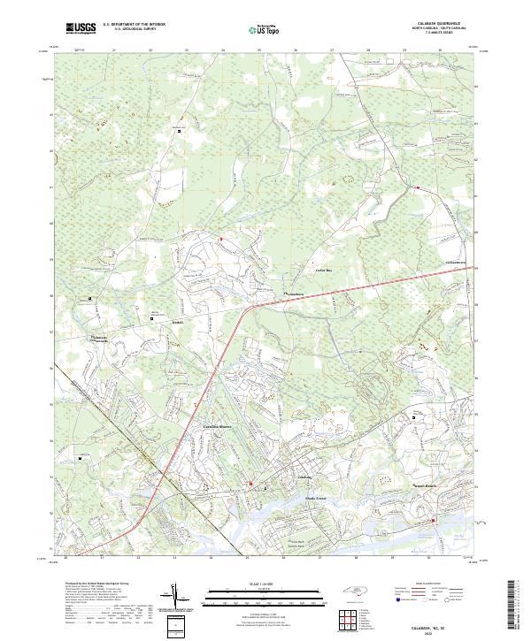
2022 Map of Calabash
USGS Topo · Published 2022About this map
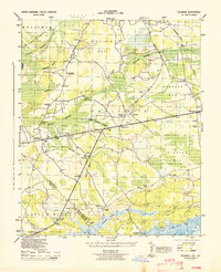
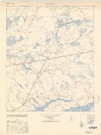
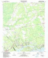
Calabash and the neighboring coastal communities of Carolina Shores and Sunset Beach define this reach of the Atlantic coast near the North Carolina South Carolina border. The landscape is a transition from the dense drainage networks of Cawcaw Swamp and Shingletree Swamp to the maritime environments of the Intracoastal Waterway. Smaller, established settlements like Grissettown and Hickmans Crossroads are situated further inland, connected by rural roads that trace the higher ground between wetlands. Local history is preserved in several family burial grounds, including Bennett Cem, Manley Bennett Cem, and Wilson Cem. The intricate shoreline at The Big Narrows and Milliken Cove illustrates the complex hydrology of the coastal plains, where tidal creeks like Calabash Creek wind through low-lying marshes before meeting the sound.
Find a feature on this map
212 named features on this map. Tap any name to fly to it.
Don’t see what you’re looking for? This feature index may not catch every label — zoom into the map to look around manually.
Map Details
Editions of this 2022 Calabash Map
This is the sole edition of this map. No revisions or reprints were ever made.
Historical Maps of Sunset Beach Through Time
8 maps found