Loading...
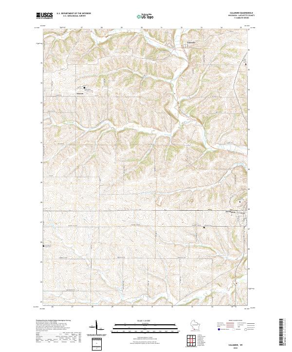
Loading map...2022 Map of Calamine
USGS Topo · Published 2022About this map
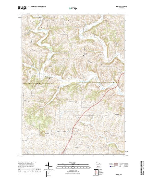
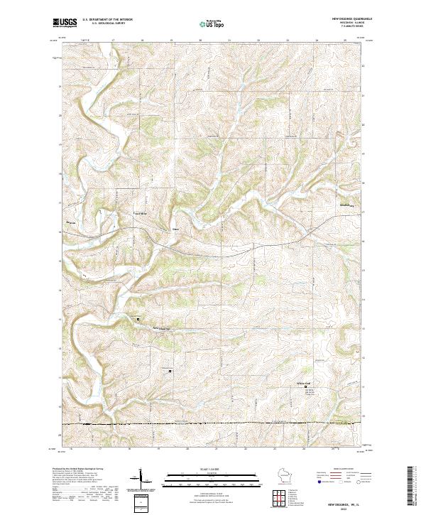
Calamine and the surrounding agricultural landscapes of Lafayette County are defined by the winding course of the Pecatonica River and its numerous tributaries. This survey captures a rural landscape where small settlements like Truman and Avon serve as anchors for the local community. The distribution of sacred sites, including Immaculate Conception Cem and Our Lady of Hope Cem, reflects the long-standing settlement patterns of the region.
Find a feature on this map
61 named features on this map. Tap any name to fly to it.
Don’t see what you’re looking for? This feature index may not catch every label — zoom into the map to look around manually.
Map Details
Date Portrayed2022
Date Published2022
PublisherU.S. Geological Survey
Map TypeTopographic
Scale1:24000
Physical Dimensions24 x 29 inches
Editions of this 2022 Calamine Map
This is the sole edition of this map. No revisions or reprints were ever made.
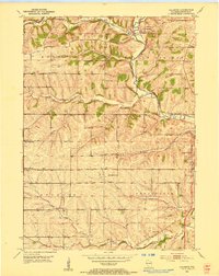
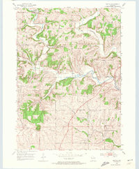
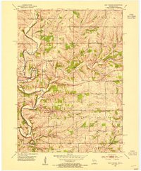
Historical Maps of Darlington Through Time
6 maps found
Featured Locations
Source Details
SourceU.S. Geological Survey
CopyrightPublic Domain