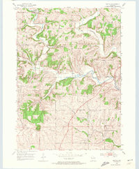
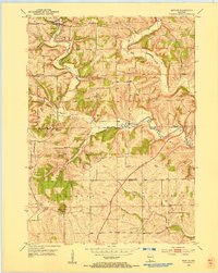
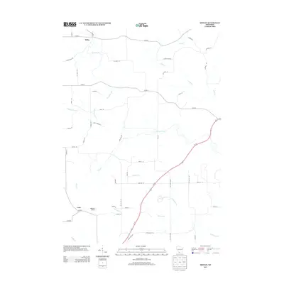
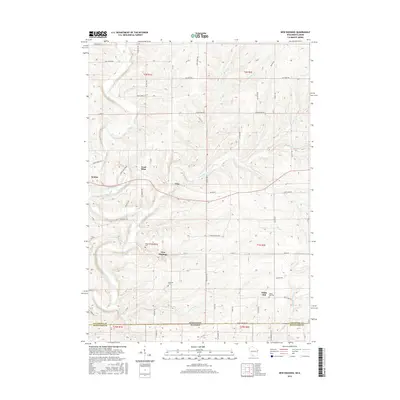
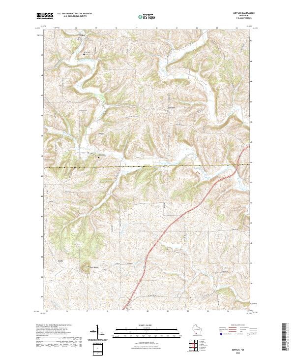
1952 Map of Mifflin
USGS Topo · Published 1974About this map
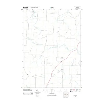
First Capitol State Park stands as a landmark in the southwest corner of this territory, marking the site of Wisconsin's original territorial capital near Leslie. The landscape is defined by the winding course of the Pecatonica River and the East Pecatonica River, which carve through the townships of Mifflin, Linden, and Belmont. The rural economy of the early 1950s is evident in the numerous small country schools, such as Willow Park Sch and Lost Grove Sch, and the scattered religious centers including Bryn Zion Ch and Peniel Ch.
Find a feature on this map
29 named features on this map. Tap any name to fly to it.
Don’t see what you’re looking for? This feature index may not catch every label — zoom into the map to look around manually.
Map Details
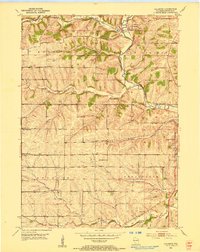
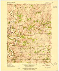
Editions of this 1952 Mifflin Map
2 editions found
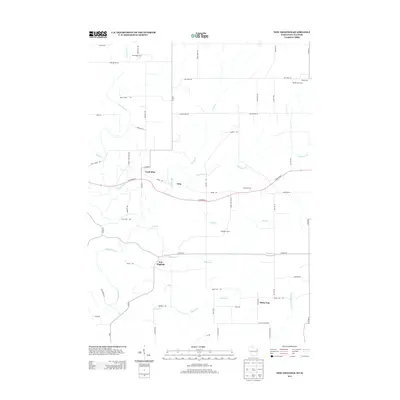
Historical Maps of Mifflin Through Time
18 maps found
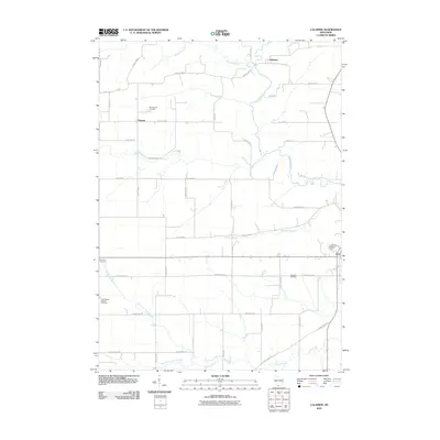
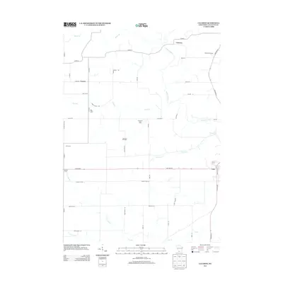
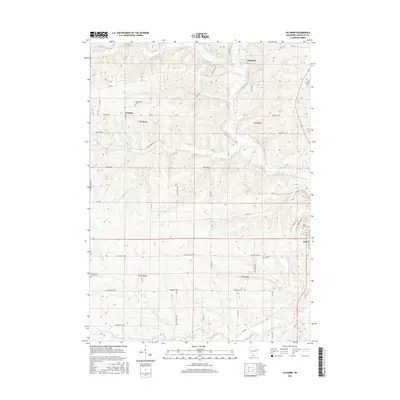
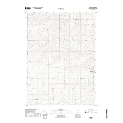
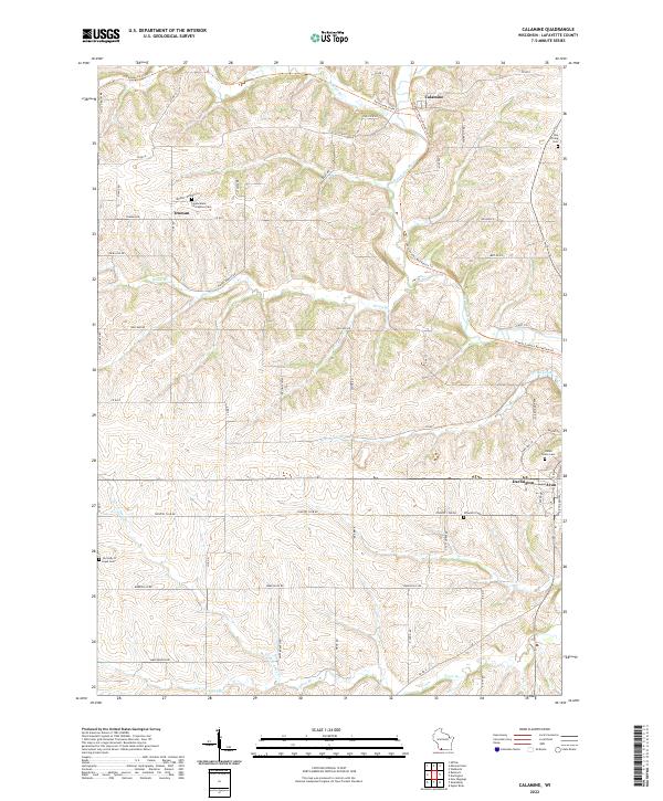
1952 Calamine
Lafayette County, WI
1952 Mifflin
Lafayette County, WI
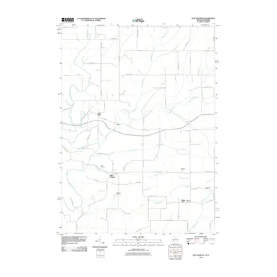
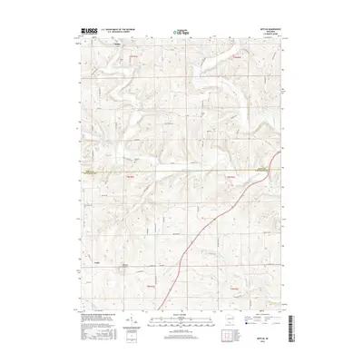
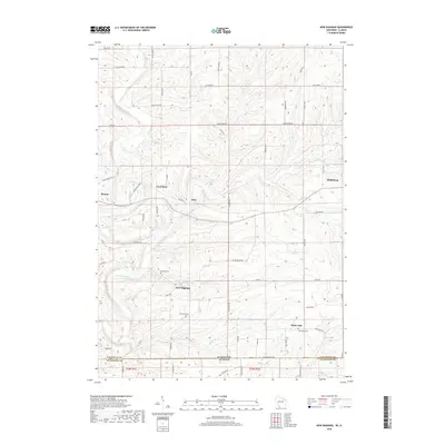
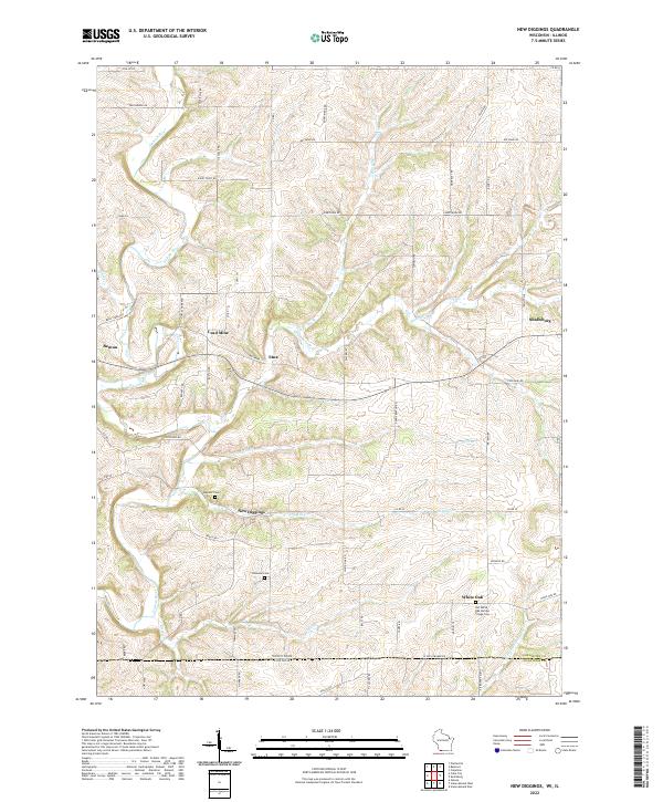
1952 New Diggings
Lafayette County, WI
2010 Calamine
Lafayette County, WI
2010 Mifflin
Lafayette County, WI
2010 New Diggings
Lafayette County, WI
2013 Calamine
Lafayette County, WI
2013 Mifflin
Lafayette County, WI
2013 New Diggings
Lafayette County, WI
2016 Calamine
Lafayette County, WI
2016 Mifflin
Lafayette County, WI
2016 New Diggings
Lafayette County, WI
2018 Calamine
Lafayette County, WI
2018 Mifflin
Lafayette County, WI
2018 New Diggings
Lafayette County, WI
2022 Calamine
Lafayette County, WI
2022 Mifflin
Lafayette County, WI
2022 New Diggings
Lafayette County, WI