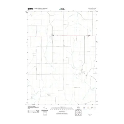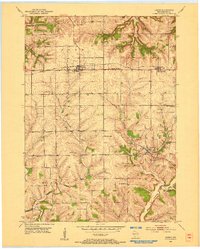
1952 Map of Linden
USGS Topo · Published 1954About this map
The lead-mining legacy of southwest Wisconsin is evident across this mid-century landscape, where Linden sits amidst numerous Mine Dumps and an Inactive Mine. The topography is defined by the winding course of the Pecatonica River and the East Pecatonica River, which carve through the townships of Eden, Linden, and Mifflin. Transportation in the early 1950s relied heavily on the Chicago and North Western railroad corridor, which connects the northern settlements of Cobb and Edmund. This map reveals a high density of rural educational landmarks, including Whitson View School and Kee Springs School, serving the farming and mining communities before the widespread consolidation of small districts. Family and local history can be traced through sites like Thomas Cemetery and the various quarries that dot the terrain.
Find a feature on this map
24 named features on this map. Tap any name to fly to it.
Don’t see what you’re looking for? This feature index may not catch every label — zoom into the map to look around manually.
Map Details
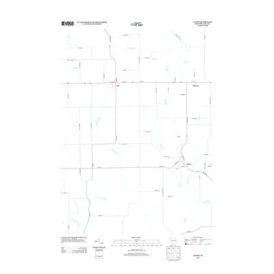
Editions of this 1952 Linden Map
This is the sole edition of this map. No revisions or reprints were ever made.
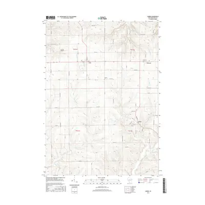
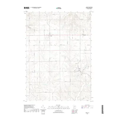
Historical Maps of Mifflin Through Time
6 maps found