
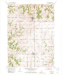
1952 Map of Montfort
USGS Topo · Published 1954About this map
Montfort and Livingston anchor this mid-century portrait of the driftless region, situated along the Chicago and North Western railway corridor. The landscape is defined by the headwaters of the Blue River and the Platte River, which carve through the terrain near the Grant and Iowa County line. This 1952 field survey reveals a high density of rural educational infrastructure, with local schools like Oak Grove Sch and Sunnyside Sch serving the farming townships of Wingville, Eden, and Clifton.
Find a feature on this map
30 named features on this map. Tap any name to fly to it.
Don’t see what you’re looking for? This feature index may not catch every label — zoom into the map to look around manually.
Map Details
Editions of this 1952 Montfort Map
2 editions found
Other maps of this area

1900 · Lancaster
USGS Topo · 1:125,000

1902 · Mineral Point
USGS Topo · 1:125,000

1904 · Lancaster
USGS Topo · 1:125,000

1905 · Richland Center
USGS Topo · 1:125,000

1908 · Lancaster
USGS Topo · 1:125,000

1933 · Boscobel
USGS Topo · 1:62,500

1952 · Rewey
USGS Topo · 1:24,000

1952 · Linden
USGS Topo · 1:24,000

1952 · Mifflin
USGS Topo · 1:24,000

1958 · La Crosse
USGS Topo · 1:250,000