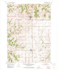
1952 Map of Montfort
USGS Topo · Published 1980About this map
The ridge-and-valley landscape of the Grant Co Iowa Co line is defined here by the agricultural and mining history of Southwest Wisconsin in the early 1950s. The village of Montfort and the town of Livingston serve as the primary hubs, connected by the Chicago and North Western railroad that cuts through the northern sections of Wingville and Eden townships. This survey reveals a high density of rural institutions, particularly schools like Oak Grove Sch and Hopewell Sch, which reflect the localized nature of the farming communities before widespread consolidation.
Find a feature on this map
29 named features on this map. Tap any name to fly to it.
Don’t see what you’re looking for? This feature index may not catch every label — zoom into the map to look around manually.
Map Details
Editions of this 1952 Montfort Map
2 editions found
Other maps of this area

1900 · Lancaster
USGS Topo · 1:125,000

1902 · Mineral Point
USGS Topo · 1:125,000

1904 · Lancaster
USGS Topo · 1:125,000

1905 · Richland Center
USGS Topo · 1:125,000

1908 · Lancaster
USGS Topo · 1:125,000

1933 · Boscobel
USGS Topo · 1:62,500

1952 · Rewey
USGS Topo · 1:24,000

1952 · Montfort
USGS Topo · 1:24,000

1952 · Linden
USGS Topo · 1:24,000

1952 · Mifflin
USGS Topo · 1:24,000