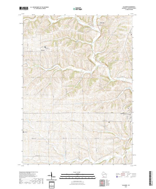
2022 Map of Mifflin
USGS Topo · Published 2022About this map
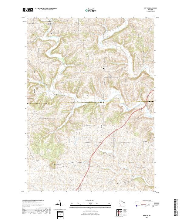
The Pecatonica River winds through the driftless landscape of the Iowa and Lafayette county line, serving as the primary drainage for several named tributaries including Sudan Br, Williams-Rewey Br, and Cottage Inn Br. The settlement of Mifflin sits at the northern edge of the map, while Leslie occupies the southwestern corner near the distinct elevation of Belmont Mound. Local history is preserved in the placement of several rural burial grounds, such as the Salome Welsh Baptist Cem and Penniel Cem, which are connected by a network of named country roads like Log Town Rd and Jericho Rd. The map illustrates a deeply dissected topography where family-named routes such as Shepherd Rd and Lawinger Rd follow the high ridges between creek valleys, reflecting the enduring agricultural and township boundaries of the region.
Find a feature on this map
59 named features on this map. Tap any name to fly to it.
Don’t see what you’re looking for? This feature index may not catch every label — zoom into the map to look around manually.
Map Details
Editions of this 2022 Mifflin Map
This is the sole edition of this map. No revisions or reprints were ever made.
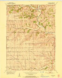
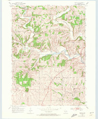
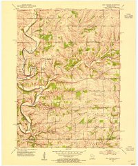
Historical Maps of Mifflin Through Time
6 maps found