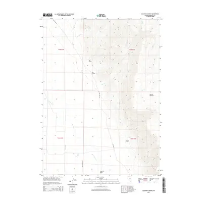
2015 Map of Calavera Canyon
USGS Topo · Published 2015About this map
Kings River Valley and the southern slopes of the Montana Mountains define this high-desert landscape in northern Humboldt County. The terrain transition is marked by a series of drainages, including the namesake Calavera Canyon, Ikes Canyon, and Dry Canyon, which cut through the steep relief toward the valley floor. Water sources are scarce but critical to the area's utility, with Gold Hill Spring and Horse Creek Spring serving as vital landmarks in an otherwise arid environment.
Find a feature on this map
21 named features on this map. Tap any name to fly to it.
Don’t see what you’re looking for? This feature index may not catch every label — zoom into the map to look around manually.
Map Details
Editions of this 2015 Calavera Canyon Map
This is the sole edition of this map. No revisions or reprints were ever made.
Other maps of this area

1886 · Disaster
USGS Topo · 1:250,000

1893 · Disaster
USGS Topo · 1:250,000

1954 · Vya
USGS Topo · 1:250,000

1958 · Vya
USGS Topo · 1:250,000

1961 · Quinn River Crossing
USGS Topo · 1:62,500

1961 · Thacker Pass
USGS Topo · 1:62,500

1961 · Trident Peak
USGS Topo · 1:62,500

1961 · Disaster Peak
USGS Topo · 1:62,500

1962 · Vya
USGS Topo · 1:250,000

1979 · Denio
USGS Topo · 1:100,000