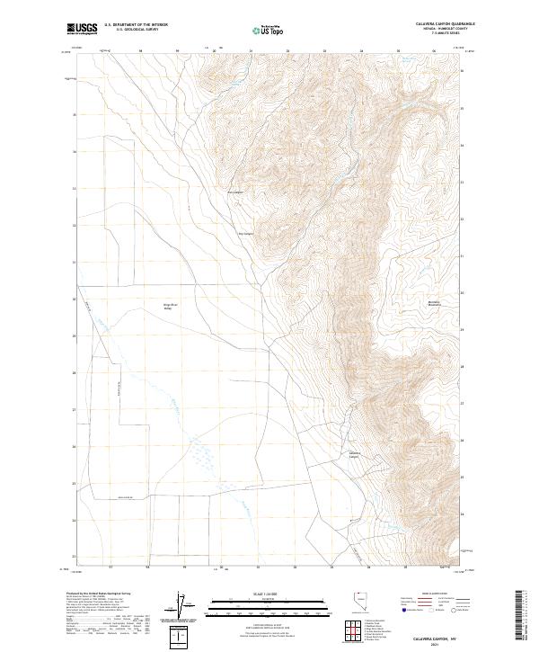
2021 Map of Calavera Canyon
USGS Topo · Published 2021About this map
Kings River Valley serves as the dominant geographical feature of this high-desert landscape in Humboldt County, where the Kings River flows through open country before entering the southern reaches of the Montana Mountains. The terrain transitions sharply from the alluvial flats near Bengoa Rd to the dramatic relief of Calavera Canyon and Ikes Canyon. These deep incisions in the range indicate a landscape shaped by seasonal runoff, supported by vital water sources like Gold Hill Spring and Horse Creek Spring. The road network is sparse, with Kings River Rd providing the primary corridor through the valley, reflecting the remote ranching and grazing character of the region. Notable drainages such as Garden Cr and Cheery Cr carve through the western slopes, illustrating the complex drainage patterns that define this section of the Nevada wilderness.
Find a feature on this map
19 named features on this map. Tap any name to fly to it.
Don’t see what you’re looking for? This feature index may not catch every label — zoom into the map to look around manually.
Map Details
Editions of this 2021 Calavera Canyon Map
This is the sole edition of this map. No revisions or reprints were ever made.
Other maps of this area

1886 · Disaster
USGS Topo · 1:250,000

1893 · Disaster
USGS Topo · 1:250,000

1954 · Vya
USGS Topo · 1:250,000

1958 · Vya
USGS Topo · 1:250,000

1961 · Quinn River Crossing
USGS Topo · 1:62,500

1961 · Thacker Pass
USGS Topo · 1:62,500

1961 · Trident Peak
USGS Topo · 1:62,500

1961 · Disaster Peak
USGS Topo · 1:62,500

1962 · Vya
USGS Topo · 1:250,000

1979 · Denio
USGS Topo · 1:100,000