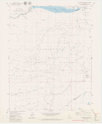
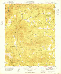
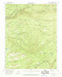
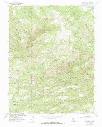
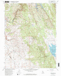
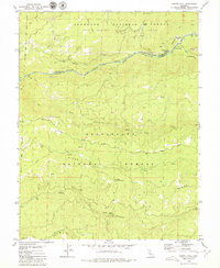
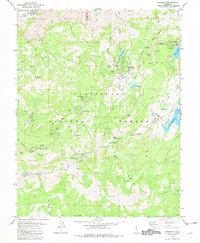
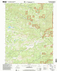
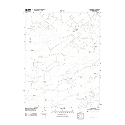
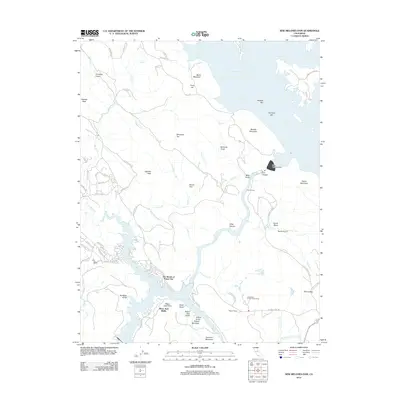
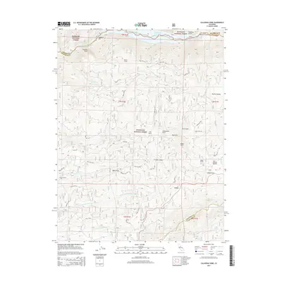
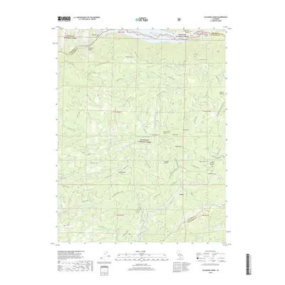
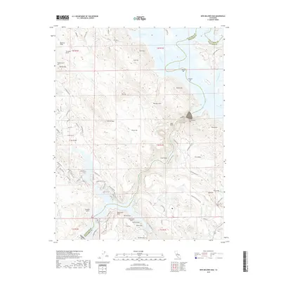
1979 Map of Calaveras Dome
USGS Topo · Published 1979About this map
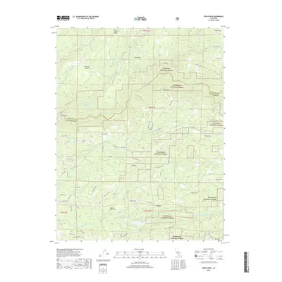
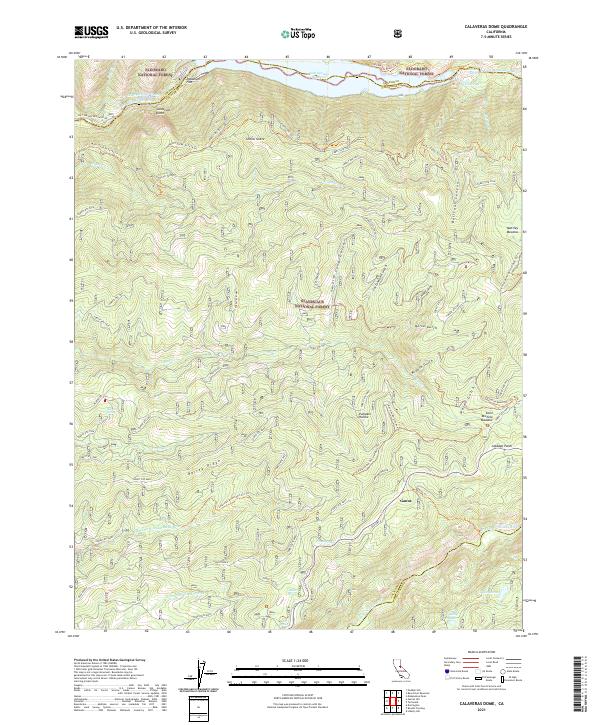
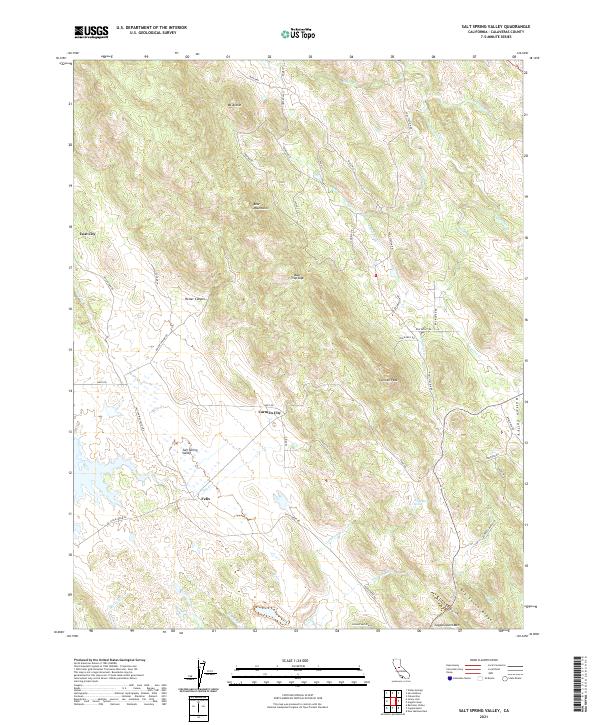
Calaveras Dome towers over a complex landscape of hydro-electric infrastructure and high-country wilderness at the meeting point of several Northern California counties. The Salt Springs Reservoir dominates the northern reaches, supported by a Powerhouse and multiple Gaging Stations along the Mokelumne River. This late-1970s survey captures the region as a vital resource corridor, where the Salt Springs State Game Refuge and Mokelumne Wilderness provide protected habitat alongside active forest management. Settlement is sparse, represented by small outposts like Cuneo Camp, Ganns, and Cabbage Patch. The terrain is deeply incised by drainages such as Bellfour Canyon and Long Gulch, while high meadows like Mattley Meadow and St Michele Meadow offer breaks in the timber. Notable curiosities like Shovel Grave and Pumpkin Hollow hint at the local lore and pioneer history embedded in these slopes.
Find a feature on this map
52 named features on this map. Tap any name to fly to it.
Don’t see what you’re looking for? This feature index may not catch every label — zoom into the map to look around manually.
Map Details
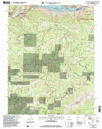
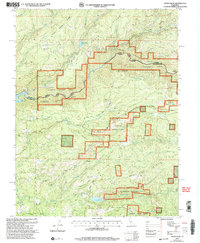
Editions of this 1979 Calaveras Dome Map
2 editions found
Historical Maps of Ganns Through Time
56 maps found
1949 Railroad Flat
Calaveras County, CA
1956 Blue Mountain
Calaveras County, CA

1962 Angels Camp
Calaveras County, CA
1962 Calaveritas
Calaveras County, CA
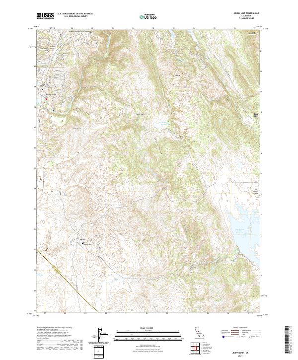
1962 Jenny Lind
Calaveras County, CA
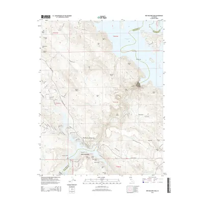
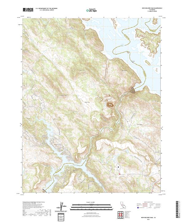
1962 New Melones Dam
Calaveras County, CA

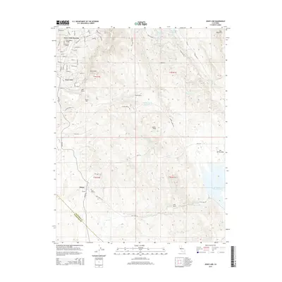
1962 Salt Spring Valley
Calaveras County, CA
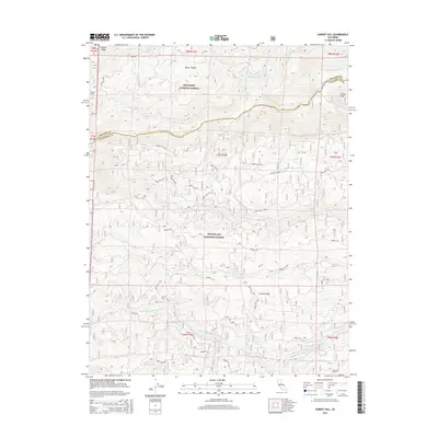
1979 Calaveras Dome
Calaveras County, CA
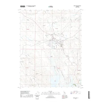
1979 Devils Nose
Calaveras County, CA
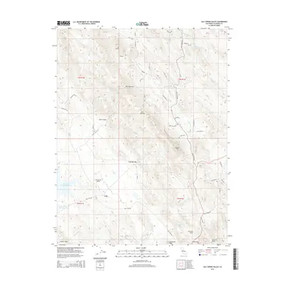
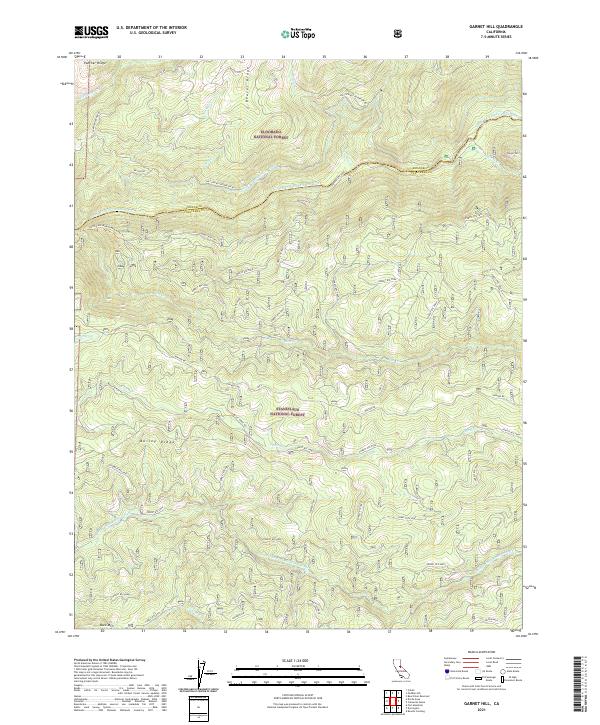
1979 Garnet Hill
Calaveras County, CA
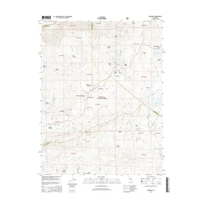
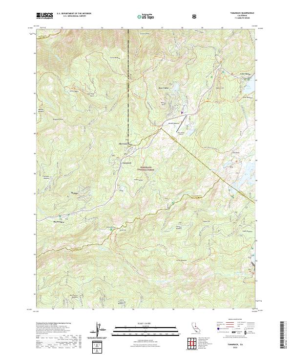
1979 Tamarack
Calaveras County, CA
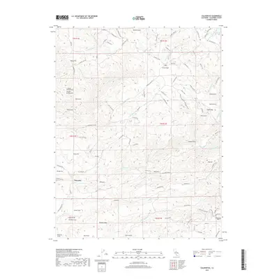
2001 Calaveras Dome
Calaveras County, CA
2001 Devils Nose
Calaveras County, CA
2001 Fort Mountain
Calaveras County, CA
2001 Garnet Hill
Calaveras County, CA
2001 Tamarack
Calaveras County, CA

2012 Angels Camp
Calaveras County, CA
2012 Calaveras Dome
Calaveras County, CA
2012 Calaveritas
Calaveras County, CA
2012 Devils Nose
Calaveras County, CA
2012 Fort Mountain
Calaveras County, CA

2012 Garnet Hill
Calaveras County, CA
2012 Jenny Lind
Calaveras County, CA
2012 New Melones Dam
Calaveras County, CA
2012 Salt Spring Valley
Calaveras County, CA
2012 Tamarack
Calaveras County, CA
2015 Angels Camp
Calaveras County, CA
2015 Calaveras Dome
Calaveras County, CA
2015 Calaveritas
Calaveras County, CA
2015 Devils Nose
Calaveras County, CA
2015 Fort Mountain
Calaveras County, CA
2015 Garnet Hill
Calaveras County, CA
2015 Jenny Lind
Calaveras County, CA
2015 New Melones Dam
Calaveras County, CA
2015 Salt Spring Valley
Calaveras County, CA
2015 Tamarack
Calaveras County, CA
2018 Angels Camp
Calaveras County, CA
2018 Calaveras Dome
Calaveras County, CA
2018 Calaveritas
Calaveras County, CA
2018 Devils Nose
Calaveras County, CA
2018 Fort Mountain
Calaveras County, CA
2018 Garnet Hill
Calaveras County, CA
2018 Jenny Lind
Calaveras County, CA
2018 New Melones Dam
Calaveras County, CA
2018 Salt Spring Valley
Calaveras County, CA
2018 Tamarack
Calaveras County, CA
2021 Angels Camp
Calaveras County, CA
2021 Calaveras Dome
Calaveras County, CA
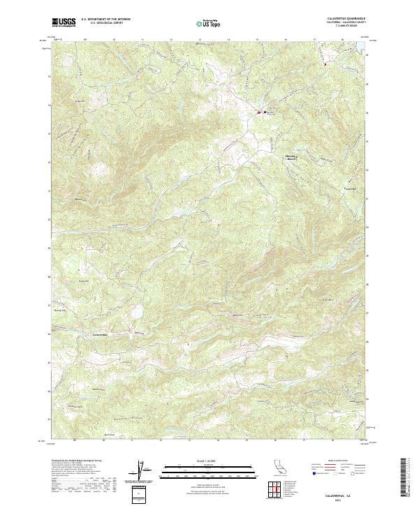
2021 Calaveritas
Calaveras County, CA
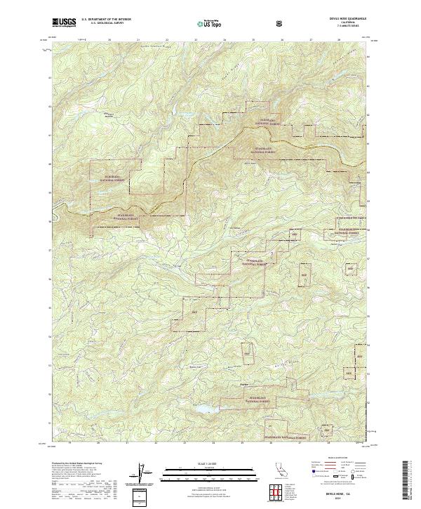
2021 Devils Nose
Calaveras County, CA
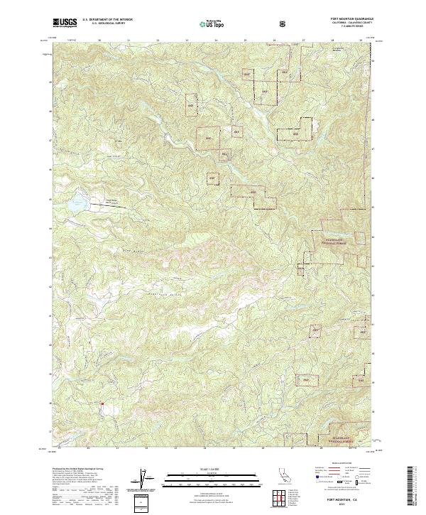
2021 Fort Mountain
Calaveras County, CA
2021 Garnet Hill
Calaveras County, CA
2021 Jenny Lind
Calaveras County, CA
2021 New Melones Dam
Calaveras County, CA
2021 Salt Spring Valley
Calaveras County, CA
2022 Tamarack
Calaveras County, CA