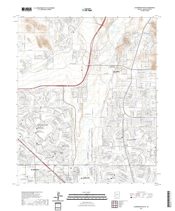
2021 Map of Calderwood Butte
USGS Topo · Published 2021About this map
Sun City West and Westbrook Village define the modern residential character of this Maricopa County landscape, where master-planned communities meet the arid terrain of the Sonoran Desert. The Agua Fria River serves as a central geographical spine, flanked by ephemeral watercourses such as Caterpillar Tank Wash and Padel-ford Wash. A striking feature of this era is the concentration of columbaria and memorial gardens, including the Willowbrook Church Columbarium and Faith Presbyterian Church Prayer Garden, reflecting the area's development as a significant retirement and residential hub.
Find a feature on this map
50 named features on this map. Tap any name to fly to it.
Don’t see what you’re looking for? This feature index may not catch every label — zoom into the map to look around manually.
Map Details
Editions of this 2021 Calderwood Butte Map
This is the sole edition of this map. No revisions or reprints were ever made.
Other maps of this area

1954 · Phoenix
USGS Topo · 1:250,000

1957 · Phoenix
USGS Topo · 1:250,000

1957 · Calderwood Butte
USGS Topo · 1:24,000

1957 · McMicken Dam
USGS Topo · 1:24,000

1957 · El Mirage
USGS Topo · 1:24,000

1957 · Waddell
USGS Topo · 1:24,000

1957 · Hedgpeth Hills
USGS Topo · 1:24,000

1957 · Glendale
USGS Topo · 1:24,000

1958 · Phoenix
USGS Topo · 1:250,000

1960 · Phoenix
USGS Topo · 1:250,000