2022 Map of Caledonia
USGS Topo · Published 2022About this map
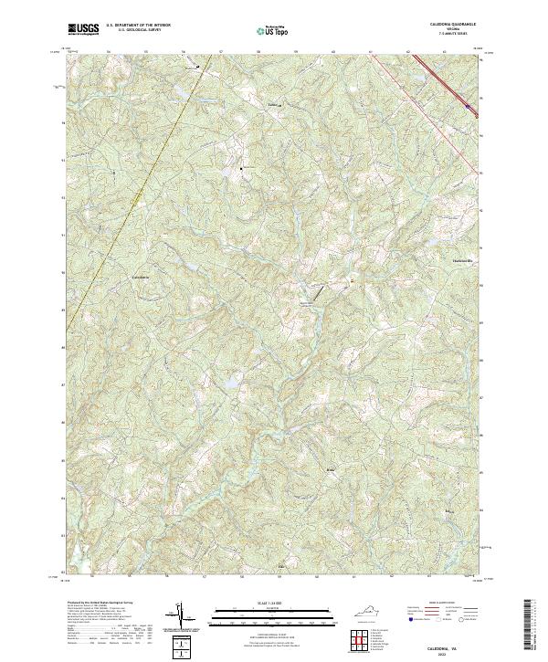
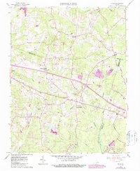
Tabscott and Caledonia anchor the rural landscape of western Goochland County, where the terrain is defined by a dense network of creek drainages including Horsepen Cr and Little Byrd Cr. This modern survey illustrates the persistent rural character of the region, where historic family names are preserved at the Bowles Cem and Payne Cem. The road network connects small crossroads communities like Bula, Fife, and Enon, tracing the high ground between the watercourses. Of particular interest is the path of Three Chopt Rd in the northeast near Hadensville, reflecting an era of overland travel that pre-dates modern highways. Smaller infrastructure, such as the Byrd Creek Airport, and numerous rural lanes like Tabscott Rd and Peters Creek Rd, show the detailed habitation patterns of this Virginia Piedmont countryside.
Find a feature on this map
75 named features on this map. Tap any name to fly to it.
Don’t see what you’re looking for? This feature index may not catch every label — zoom into the map to look around manually.
Map Details
Editions of this 2022 Caledonia Map
This is the sole edition of this map. No revisions or reprints were ever made.
Historical Maps of Tabscott Through Time
12 maps found
1943 Johnsons Springs
Goochland County, VA
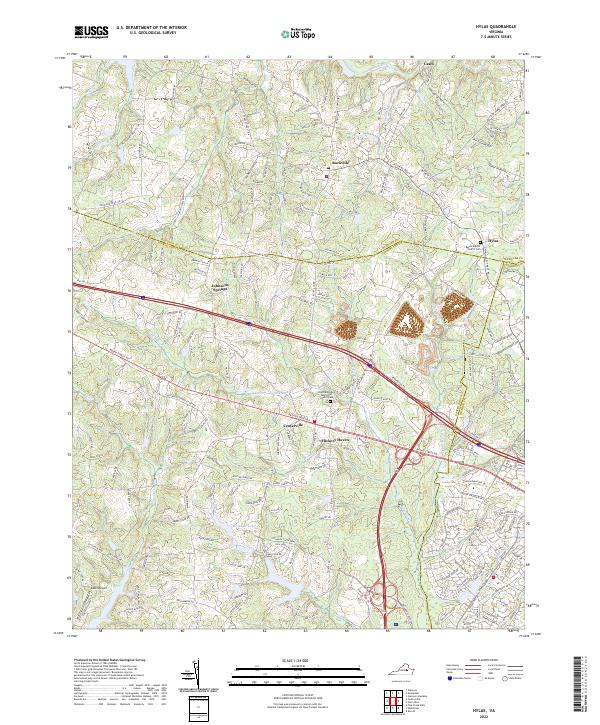
1943 Perkinsville
Goochland County, VA
1944 Johnsons Springs
Goochland County, VA
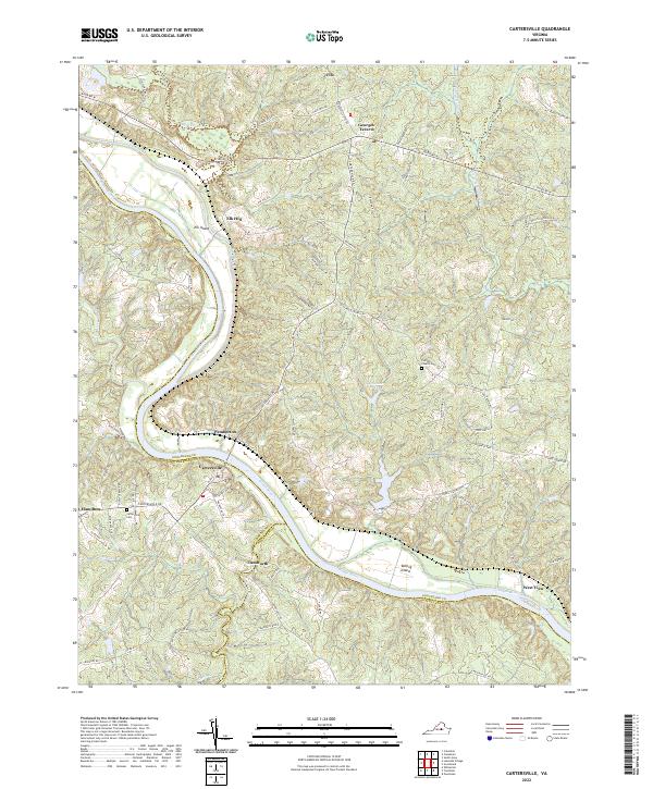
1963 Hylas
Goochland County, VA
1968 Perkinsville
Goochland County, VA
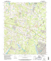
1969 Cartersville
Goochland County, VA
1970 Caledonia
Goochland County, VA
1994 Hylas
Goochland County, VA
2022 Caledonia
Goochland County, VA
2022 Cartersville
Goochland County, VA
2022 Hylas
Goochland County, VA
2022 Perkinsville
Goochland County, VA