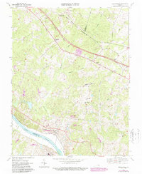
1968 Map of Perkinsville
USGS Topo · Published 1987About this map
Perkinsville and Oilville sit atop a landscape defined by the drainage basins of Beaverdam Creek and Horsepen Creek as they flow south toward the James River. This 1968 survey, revised in the 1980s, reveals a rural economy transitioning from traditional crossroads like Gammons Store to state-managed agricultural and correctional institutional land use. The southern border is dominated by the James River Correctional Center and Powhatan Correctional Center, large facilities that significantly shaped local geography and infrastructure during this period. Local social life is mapped through numerous country churches, including Elpis Ch, Bethel Ch, and Salem Ch, alongside Randolph Sch. The presence of the CSX railroad corridor following the river's northern bank underscores the historical importance of this water-level route for regional transport and commerce in Goochland County.
Find a feature on this map
34 named features on this map. Tap any name to fly to it.
Don’t see what you’re looking for? This feature index may not catch every label — zoom into the map to look around manually.
Map Details
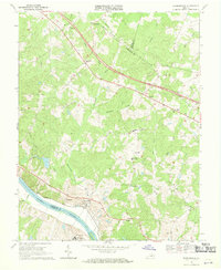
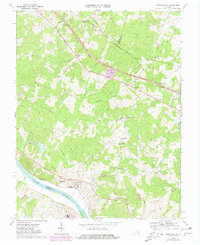
Editions of this 1968 Perkinsville Map
Other maps of this area

1890 · Goochland
USGS Topo · 1:125,000

1892 · Goochland
USGS Topo · 1:125,000

1943 · Goochland
USGS Topo · 1:31,680

1943 · Mabelton
USGS Topo · 1:31,680

1943 · Fine Creek Mills
USGS Topo · 1:31,680

1943 · Powhatan
USGS Topo · 1:31,680

1943 · Perkinsville
USGS Topo · 1:31,680

1943 · South Anna
USGS Topo · 1:24,000
1943 · Dabneys
USGS Topo · 1:24,000

1943 · Midlothian
USGS Topo · 1:24,000