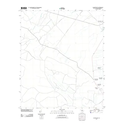
2011 Map of Calfpen Bay
USGS Topo · Published 2011About this map
Gillisonville anchors the northeastern corner of this coastal plain landscape, where the intersection of state highways and local routes like Backwoods Rd define the local transit network. The terrain is dominated by the sprawling drainage of the Great Swamp, which occupies much of the southern half of the quadrangle. This hydrologic pattern is further shaped by a series of engineered water controls, including the Cypress Woods Plantation Dam and the Thompsons Pond Dam. Numerous small tributaries such as Savannah Branch, Elbo Creek, and Beaverdam Branch feed into the lower wetlands, illustrating the complex water management required in this Lowcountry region. The map reveals a rural character defined by large land tracts and scattered pond systems along the corridor of State Hwy S-27-75.
Find a feature on this map
19 named features on this map. Tap any name to fly to it.
Don’t see what you’re looking for? This feature index may not catch every label — zoom into the map to look around manually.
Map Details
Editions of this 2011 Calfpen Bay Map
This is the sole edition of this map. No revisions or reprints were ever made.
Other maps of this area

1918 · Yemassee
USGS Topo · 1:62,500

1919 · Pineland
USGS Topo · 1:62,500

1920 · Hardeeville
USGS Topo · 1:62,500

1920 · Okatie
USGS Topo · 1:62,500

1942 · Okatie
USGS Topo · 1:62,500

1943 · Pineland
USGS Topo · 1:62,500

1943 · Hardeeville
USGS Topo · 1:62,500

1943 · Yemassee
USGS Topo · 1:62,500

1947 · Savannah
USGS Topo · 1:250,000

1948 · Savannah
USGS Topo · 1:250,000