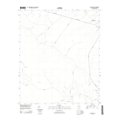
2014 Map of Calfpen Bay
USGS Topo · Published 2014About this map
Gillisonville sits at the northeastern edge of this Jasper County landscape, serving as a focal point for a network of rural roads that cross the Lowcountry terrain. The area is defined by its significant watercourses and wetlands, most notably the expansive Great Swamp that dominates the southern portion of the sheet. The namesake Calfpen Bay occupies the central region, a characteristic depressional wetland of the coastal plain.
Find a feature on this map
28 named features on this map. Tap any name to fly to it.
Don’t see what you’re looking for? This feature index may not catch every label — zoom into the map to look around manually.
Map Details
Editions of this 2014 Calfpen Bay Map
This is the sole edition of this map. No revisions or reprints were ever made.
Other maps of this area

1918 · Yemassee
USGS Topo · 1:62,500

1919 · Pineland
USGS Topo · 1:62,500

1920 · Hardeeville
USGS Topo · 1:62,500

1920 · Okatie
USGS Topo · 1:62,500

1942 · Okatie
USGS Topo · 1:62,500

1943 · Pineland
USGS Topo · 1:62,500

1943 · Hardeeville
USGS Topo · 1:62,500

1943 · Yemassee
USGS Topo · 1:62,500

1947 · Savannah
USGS Topo · 1:250,000

1948 · Savannah
USGS Topo · 1:250,000