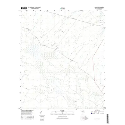
2017 Map of Calfpen Bay
USGS Topo · Published 2017About this map
Gillisonville serves as the primary settlement hub in this South Carolina lowcountry landscape, where the terrain is dominated by complex wetland systems. The massive Great Swamp and Calfpen Bay define the hydrology of the region, interconnected by watercourses like Savannah Br and Gillison Branch. This environment necessitated a specialized road network for agriculture and forestry, evidenced by labels like Derry Plantation Truck Rd and Firetower Rd.
Find a feature on this map
28 named features on this map. Tap any name to fly to it.
Don’t see what you’re looking for? This feature index may not catch every label — zoom into the map to look around manually.
Map Details
Editions of this 2017 Calfpen Bay Map
This is the sole edition of this map. No revisions or reprints were ever made.
Other maps of this area

1918 · Yemassee
USGS Topo · 1:62,500

1919 · Pineland
USGS Topo · 1:62,500

1920 · Hardeeville
USGS Topo · 1:62,500

1920 · Okatie
USGS Topo · 1:62,500

1942 · Okatie
USGS Topo · 1:62,500

1943 · Pineland
USGS Topo · 1:62,500

1943 · Hardeeville
USGS Topo · 1:62,500

1943 · Yemassee
USGS Topo · 1:62,500

1947 · Savannah
USGS Topo · 1:250,000

1948 · Savannah
USGS Topo · 1:250,000