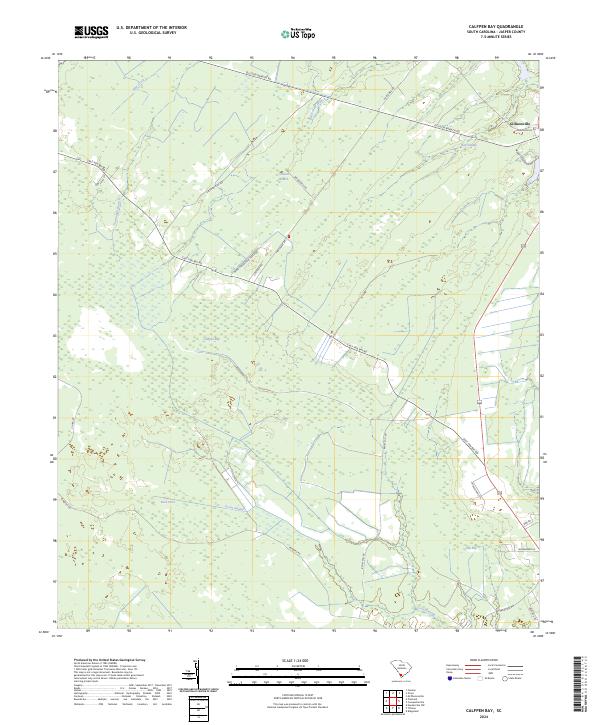
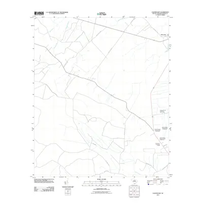
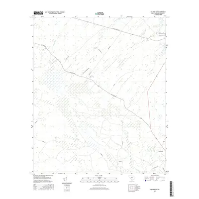
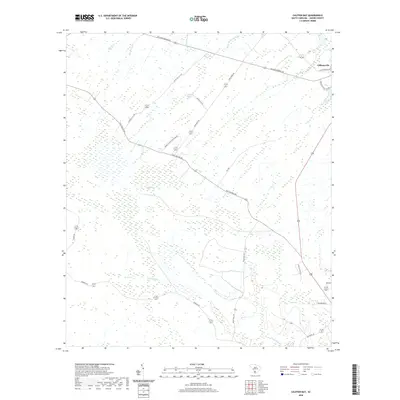
2024 Map of Calfpen Bay
USGS Topo · Published 2024About this map
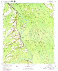
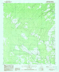
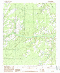
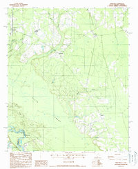
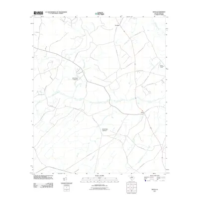
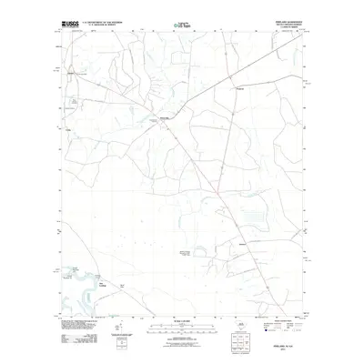
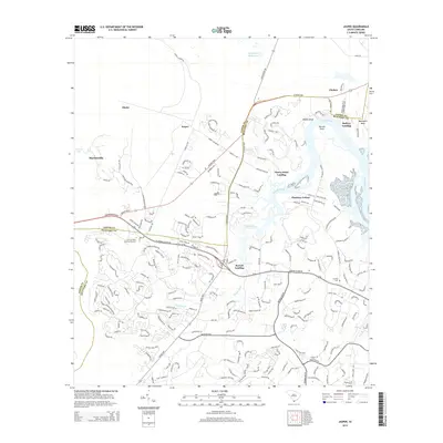
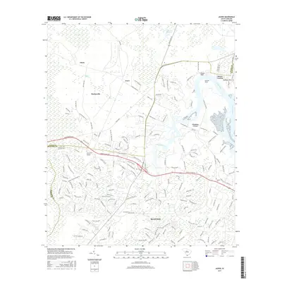
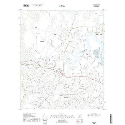
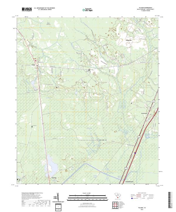
Gillisonville sits at the northeastern corner of this landscape, a historic settlement node where Gillison-Branch RD and Langfordville Rd converge. The surrounding terrain in Jasper County is defined by a dense network of wetlands and seasonal drainages, characteristic of the South Carolina Lowcountry. Vast wooded depressions and water bodies like Calfpen Bay, Poli Bay, and the extensive Great Swamp dominate the central and southern portions of the map.
Find a feature on this map
32 named features on this map. Tap any name to fly to it.
Don’t see what you’re looking for? This feature index may not catch every label — zoom into the map to look around manually.
Map Details
Editions of this 2024 Calfpen Bay Map
This is the sole edition of this map. No revisions or reprints were ever made.
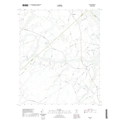
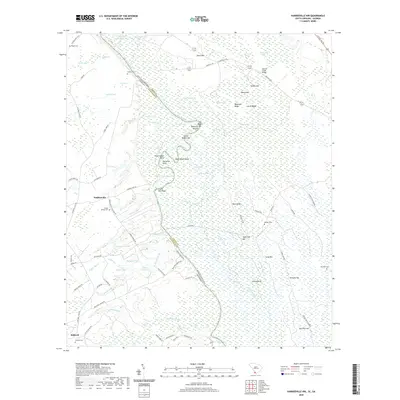
Historical Maps of Gillisonville Through Time
46 maps found
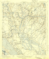
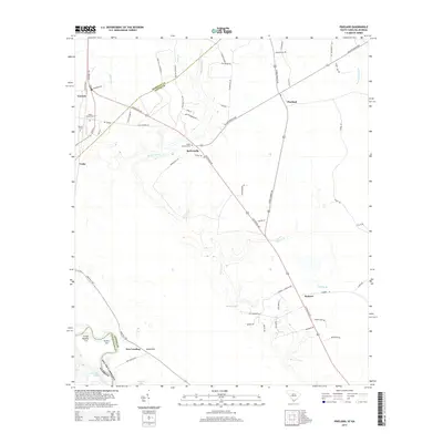
1919 Pineland
Jasper County, SC

1943 Pineland
Jasper County, SC
1955 Limehouse
Jasper County, SC
1958 Jasper
Jasper County, SC
1962 Hardeeville NW
Jasper County, SC
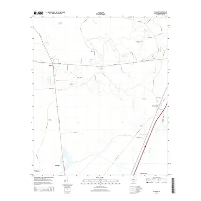
1962 Tillman
Jasper County, SC
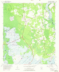
1978 Pineland
Jasper County, SC
1980 Limehouse
Jasper County, SC
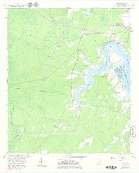
1988 Calfpen Bay
Jasper County, SC
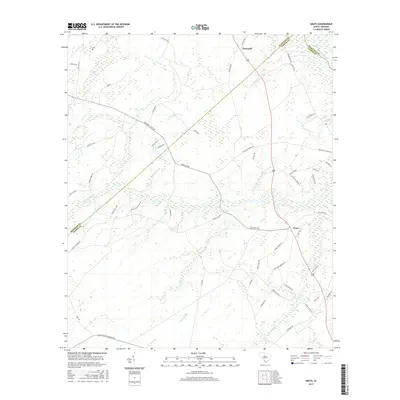
1988 Grays
Jasper County, SC
1988 Pineland
Jasper County, SC
2011 Calfpen Bay
Jasper County, SC
2011 Grays
Jasper County, SC
2011 Hardeeville NW
Jasper County, SC
2011 Jasper
Jasper County, SC
2011 Limehouse
Jasper County, SC
2011 Pineland
Jasper County, SC
2011 Tillman
Jasper County, SC
2014 Calfpen Bay
Jasper County, SC
2014 Grays
Jasper County, SC
2014 Hardeeville NW
Jasper County, SC
2014 Jasper
Jasper County, SC
2014 Limehouse
Jasper County, SC
2014 Pineland
Jasper County, SC
2014 Tillman
Jasper County, SC
2017 Calfpen Bay
Jasper County, SC
2017 Grays
Jasper County, SC
2017 Hardeeville NW
Jasper County, SC
2017 Jasper
Jasper County, SC
2017 Limehouse
Jasper County, SC
2017 Pineland
Jasper County, SC
2017 Tillman
Jasper County, SC
2020 Calfpen Bay
Jasper County, SC
2020 Grays
Jasper County, SC
2020 Hardeeville NW
Jasper County, SC
2020 Jasper
Jasper County, SC
2020 Limehouse
Jasper County, SC
2020 Pineland
Jasper County, SC
2020 Tillman
Jasper County, SC
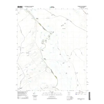
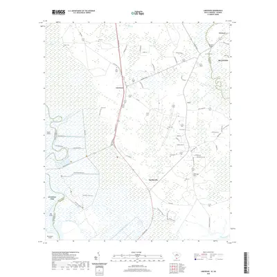
2024 Calfpen Bay
Jasper County, SC
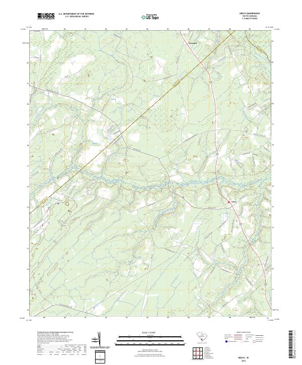
2024 Grays
Jasper County, SC
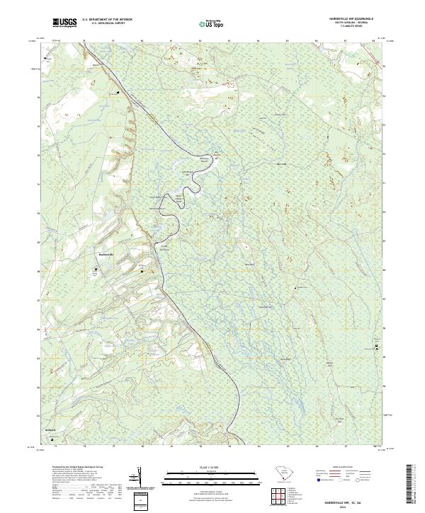
2024 Hardeeville NW
Jasper County, SC
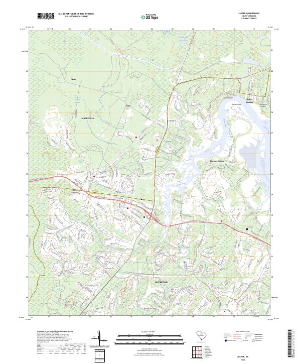
2024 Jasper
Jasper County, SC
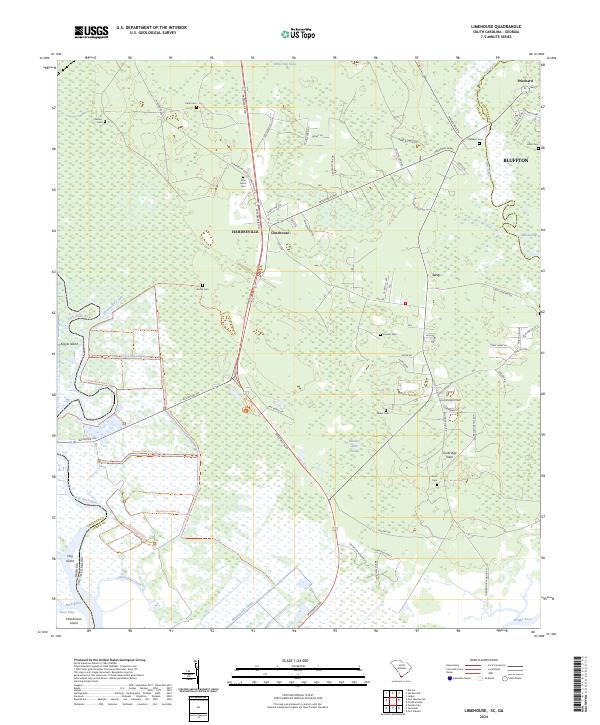
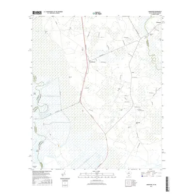
2024 Limehouse
Jasper County, SC
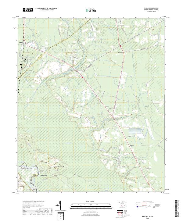
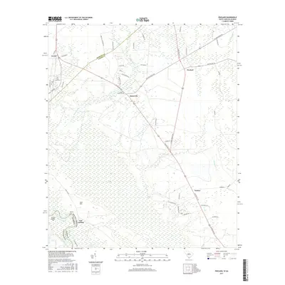
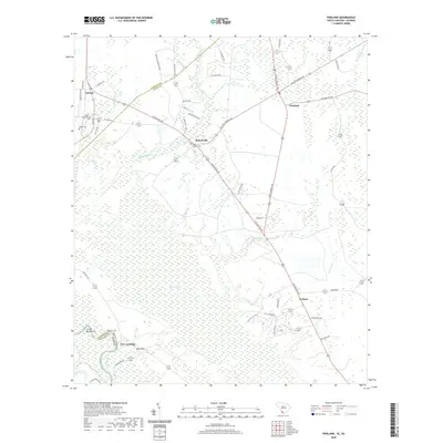
2024 Pineland
Jasper County, SC
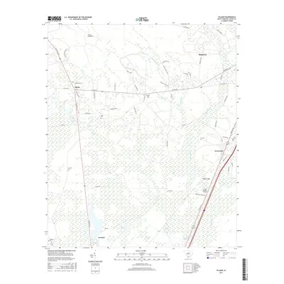
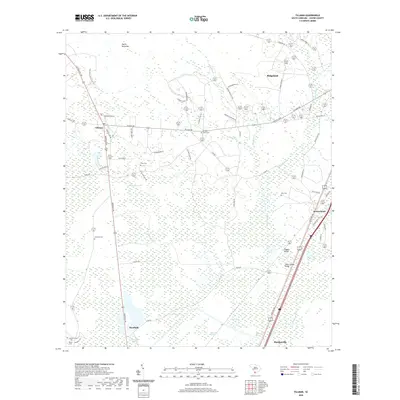
2024 Tillman
Jasper County, SC