Loading...
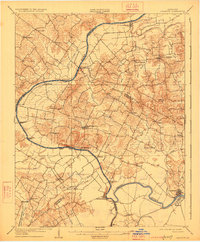
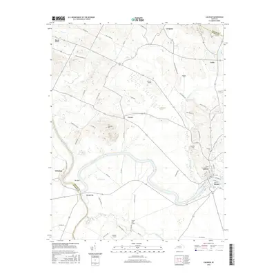
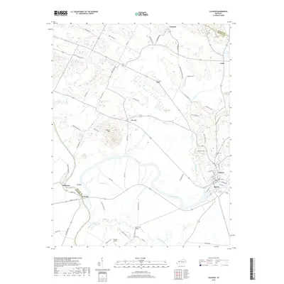
Loading map...1908 Map of Calhoun
USGS Topo · Published 1926About this map
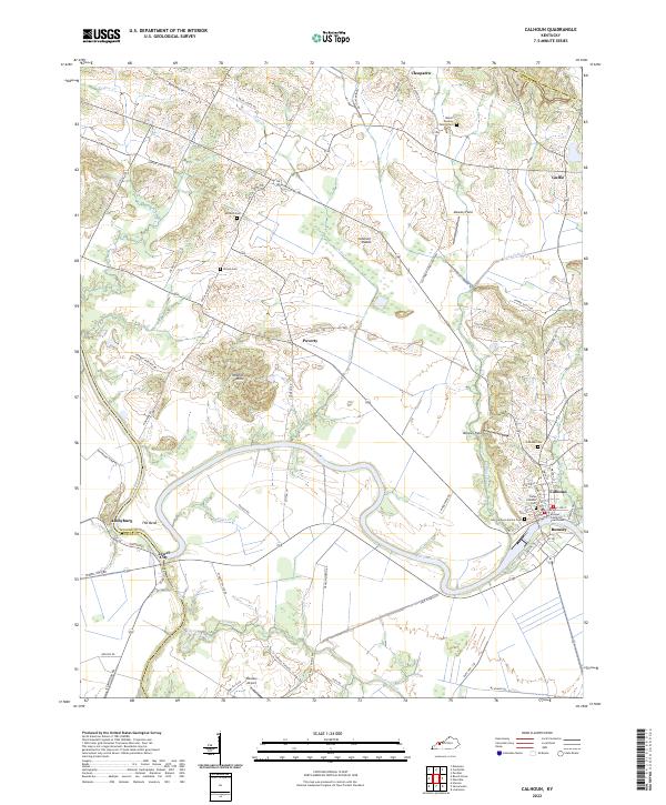
The Green River meanders through this early twentieth-century landscape, serving as a primary artery for trade and travel across McLean, Daviess, and Henderson counties. At the time of this survey, the river’s importance is underscored by the numerous river crossings and landings documented, including Quinn Ferry, Steamport Ferry, and Highbank Ferry. These points of transit linked isolated rural settlements like Beechgrove and Ashbyburg to larger regional hubs.
Find a feature on this map
56 named features on this map. Tap any name to fly to it.
Don’t see what you’re looking for? This feature index may not catch every label — zoom into the map to look around manually.
Map Details
Date Portrayed1908
Date Published1926
PublisherU.S. Geological Survey
Map TypeTopographic
Scale1:62,500
Physical Dimensions16.4 x 19.9 inches
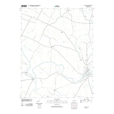
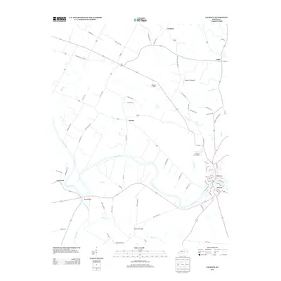
Editions of this 1908 Calhoun Map
2 editions found

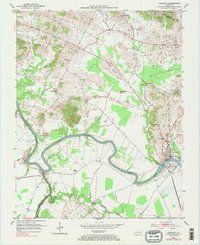
Historical Maps of Calhoun Through Time
7 maps found
Featured Locations
Source Details
SourceU.S. Geological Survey
CopyrightPublic Domain