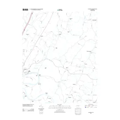
2013 Map of Calhoun
USGS Topo · Published 2013About this map
The Hiwassee River anchors this landscape in eastern Tennessee, shaping the land into prominent features like Bates Bend and Hambright Bend. North of the river, the terrain is characterized by a series of north-south running ridges and valleys, including Mouse Creek Ridge and Oostanaula Valley. The settlement of Calhoun sits along the riverbanks, serving as a primary hub alongside the neighboring residential area of Watt Heights.
Find a feature on this map
122 named features on this map. Tap any name to fly to it.
Don’t see what you’re looking for? This feature index may not catch every label — zoom into the map to look around manually.
Map Details
Editions of this 2013 Calhoun Map
This is the sole edition of this map. No revisions or reprints were ever made.
Other maps of this area

1886 · Cleveland
USGS Topo · 1:125,000

1892 · Cleveland
USGS Topo · 1:125,000

1895 · Cleveland
USGS Topo · 1:125,000

1901 · Cleveland
USGS Topo · 1:125,000

1935 · East Cleveland
USGS Topo · 1:24,000

1935 · Calhoun
USGS Topo · 1:24,000

1935 · Benton
USGS Topo · 1:24,000

1935 · Athens
USGS Topo · 1:24,000

1935 · Goodfield
USGS Topo · 1:24,000

1935 · Charleston
USGS Topo · 1:24,000