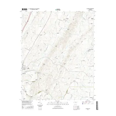
2016 Map of Calhoun
USGS Topo · Published 2016About this map
The Hiwassee River defines the southern portion of this landscape, winding past Hambright Bend and Davis Bend near the border of Bradley and McMinn Counties. The historic twin settlements of Calhoun and Charleston sit at the river crossing, where local industry and infrastructure meet the water. This 2016 survey documents a high density of rural burial grounds throughout the valley, including Shiloh Presbyterian Cem and Riceville Cedar Springs Cem, indicating long-standing family and community ties to the land.
Find a feature on this map
139 named features on this map. Tap any name to fly to it.
Don’t see what you’re looking for? This feature index may not catch every label — zoom into the map to look around manually.
Map Details
Editions of this 2016 Calhoun Map
This is the sole edition of this map. No revisions or reprints were ever made.
Other maps of this area

1886 · Cleveland
USGS Topo · 1:125,000

1892 · Cleveland
USGS Topo · 1:125,000

1895 · Cleveland
USGS Topo · 1:125,000

1901 · Cleveland
USGS Topo · 1:125,000

1935 · East Cleveland
USGS Topo · 1:24,000

1935 · Calhoun
USGS Topo · 1:24,000

1935 · Benton
USGS Topo · 1:24,000

1935 · Athens
USGS Topo · 1:24,000

1935 · Goodfield
USGS Topo · 1:24,000

1935 · Charleston
USGS Topo · 1:24,000