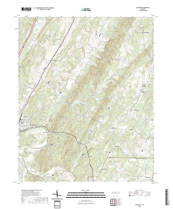
2022 Map of Calhoun
USGS Topo · Published 2022About this map
The Hiwassee River winds through the southern landscape of this quadrangle, defining the border where McMinn and Bradley counties meet. At a prominent bend in the river, the historic settlement of Charleston sits across from Calhoun, connected by roads that bridge the waterway. The terrain is defined by a series of parallel ridges and hollows, such as Mouse Creek Ridge and Eledge Ridge, which have influenced the layout of local infrastructure and rural homesteads for generations.
Find a feature on this map
139 named features on this map. Tap any name to fly to it.
Don’t see what you’re looking for? This feature index may not catch every label — zoom into the map to look around manually.
Map Details
Editions of this 2022 Calhoun Map
This is the sole edition of this map. No revisions or reprints were ever made.
Other maps of this area

1886 · Cleveland
USGS Topo · 1:125,000

1892 · Cleveland
USGS Topo · 1:125,000

1895 · Cleveland
USGS Topo · 1:125,000

1901 · Cleveland
USGS Topo · 1:125,000

1935 · East Cleveland
USGS Topo · 1:24,000

1935 · Calhoun
USGS Topo · 1:24,000

1935 · Benton
USGS Topo · 1:24,000

1935 · Athens
USGS Topo · 1:24,000

1935 · Goodfield
USGS Topo · 1:24,000

1935 · Charleston
USGS Topo · 1:24,000