Loading...
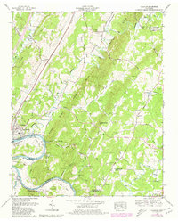
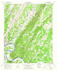
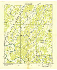
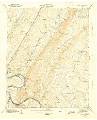
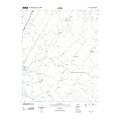
Loading map...1964 Map of Calhoun
USGS Topo · Published 1980About this map
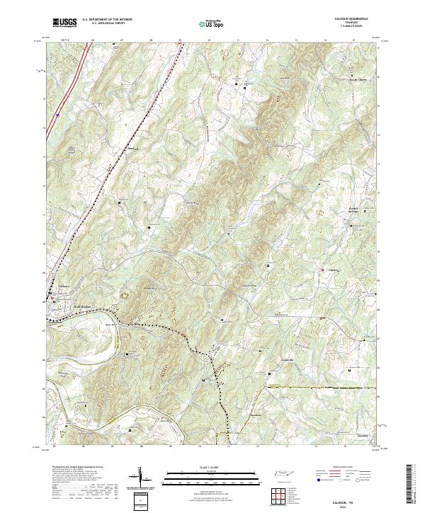
Calhoun and Charleston sit prominently along the winding banks of the Hiwassee River, a landscape defined by the convergence of the Southern railroad line and the Lee Highway. This 1964 survey, updated in 1980, reveals a dense network of family and community landmarks, particularly evident in the numerous burial grounds like Double Springs Cem and South Liberty Cem. The area’s geography is shaped by prominent ridges such as Mouse Creek Ridge and Gettys Ridge, which channel water through valleys like the Oostanaula Valley.
Find a feature on this map
86 named features on this map. Tap any name to fly to it.
Don’t see what you’re looking for? This feature index may not catch every label — zoom into the map to look around manually.
Map Details
Date Portrayed1964
Date Published1980
PublisherU.S. Geological Survey
Map TypeTopographic
Scale1:24,000
Physical Dimensions22.1 x 27.4 inches
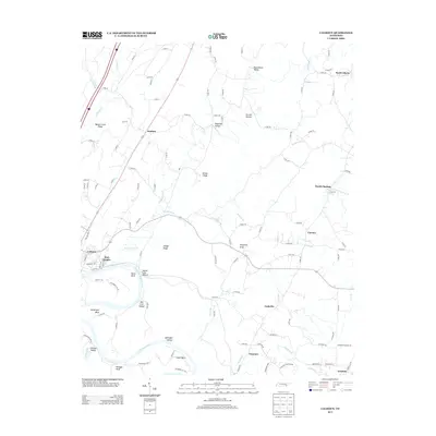
Editions of this 1964 Calhoun Map
2 editions found
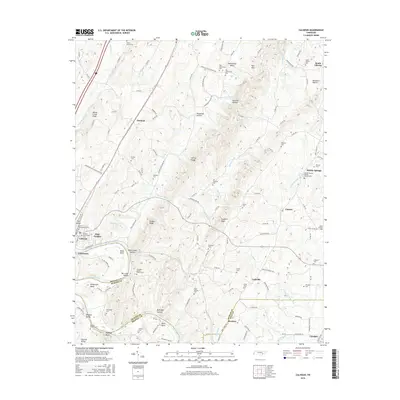
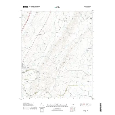
Historical Maps of Charleston Through Time
9 maps found

Featured Locations
Source Details
SourceU.S. Geological Survey
CopyrightPublic Domain