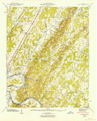
1943 Map of Calhoun
USGS Topo · Published 1963About this map
Calhoun sits at a strategic bend where the Southern railroad and Lee Highway cross the Hiwassee River, an area captured here during the 1940s. The landscape is defined by the ridge-and-valley topography of Mouse Creek Ridge and Getty Ridge, which channel the Oostanaula Creek toward its confluence with the river. While the Chickamauga Reservoir has begun to influence the river's character, the map preserves the original bends of the waterway, including Bates Bend and Hambright Bend.
Find a feature on this map
86 named features on this map. Tap any name to fly to it.
Don’t see what you’re looking for? This feature index may not catch every label — zoom into the map to look around manually.
Map Details
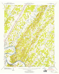
Editions of this 1943 Calhoun Map
2 editions found
Other maps of this area

1886 · Cleveland
USGS Topo · 1:125,000

1892 · Cleveland
USGS Topo · 1:125,000

1895 · Cleveland
USGS Topo · 1:125,000

1901 · Cleveland
USGS Topo · 1:125,000

1935 · East Cleveland
USGS Topo · 1:24,000

1935 · Calhoun
USGS Topo · 1:24,000

1935 · Benton
USGS Topo · 1:24,000

1935 · Athens
USGS Topo · 1:24,000

1935 · Goodfield
USGS Topo · 1:24,000

1935 · Charleston
USGS Topo · 1:24,000