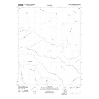
2010 Map of Caliente Canyon North
USGS Topo · Published 2010About this map
Catskill sits at the heart of this rugged drainage network where the Canadian River cuts through the high desert of Las Animas County. The settlement and the nearby Catskill Cemetery serve as primary points of interest for genealogists and local historians researching this sparsely populated corridor. The landscape is defined by an intricate system of deep ravines, including Arch Redd Canyon, Stubblefield Canyon, and Cemetery Canyon, which drain the surrounding highlands toward the river basin.
Find a feature on this map
29 named features on this map. Tap any name to fly to it.
Don’t see what you’re looking for? This feature index may not catch every label — zoom into the map to look around manually.
Map Details
Editions of this 2010 Caliente Canyon North Map
This is the sole edition of this map. No revisions or reprints were ever made.
Other maps of this area

1891 · Spanish Peaks
USGS Topo · 1:125,000

1893 · Spanish Peaks
USGS Topo · 1:125,000

1895 · Spanish Peaks
USGS Topo · 1:125,000

1897 · Spanish Peaks
USGS Topo · 1:125,000

1900 · Spanish Peaks
USGS Topo · 1:125,000

1915 · Brilliant
USGS Topo · 1:62,500

1951 · Valdez
USGS Topo · 1:24,000

1954 · Raton
USGS Topo · 1:250,000

1954 · Trinidad
USGS Topo · 1:250,000

1955 · Trinidad
USGS Topo · 1:250,000