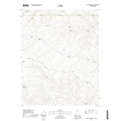
2020 Map of Caliente Canyon North
USGS Topo · Published 2020About this map
Catskill Cem sits at the heart of this landscape, marking a point of rest in the high-elevation terrain where the Canadian River cuts through the borderlands. The map details a complex network of drainages, including Long Cr and Stubblefield Canyon, which feed into the primary river system. This area, straddling the line between Las Animas County and Colfax County, is defined by its numerous family-named canyons such as Ben Thompson Canyon, Williams Canyon, and Arch Redd Canyon. Transportation through this dissected geography is facilitated primarily by York Canyon Rd, which winds through the central portion of the quadrangle. The naming conventions, including Shingle Mill Canyon and Commissary Canyon, suggest a legacy of early industry and local homesteading in this corner of the border region between Colorado and New Mexico.
Find a feature on this map
29 named features on this map. Tap any name to fly to it.
Don’t see what you’re looking for? This feature index may not catch every label — zoom into the map to look around manually.
Map Details
Editions of this 2020 Caliente Canyon North Map
This is the sole edition of this map. No revisions or reprints were ever made.
Other maps of this area

1891 · Spanish Peaks
USGS Topo · 1:125,000

1893 · Spanish Peaks
USGS Topo · 1:125,000

1895 · Spanish Peaks
USGS Topo · 1:125,000

1897 · Spanish Peaks
USGS Topo · 1:125,000

1900 · Spanish Peaks
USGS Topo · 1:125,000

1915 · Brilliant
USGS Topo · 1:62,500

1951 · Valdez
USGS Topo · 1:24,000

1954 · Raton
USGS Topo · 1:250,000

1954 · Trinidad
USGS Topo · 1:250,000

1955 · Trinidad
USGS Topo · 1:250,000