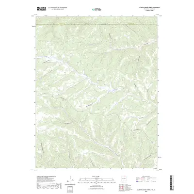
2023 Map of Caliente Canyon North
USGS Topo · Published 2023About this map
Catskill Cem sits above the Canadian River, serving as a silent witness to the history of this high-altitude landscape where the Sangre de Cristo foothills meet the plains. The complex drainage network of northern Colfax County is defined by deep cuts like Stubblefield Canyon and Penitente Canyon, while the north-to-south transition across the state line from Las Animas County, Colorado, reveals the rugged topography of the Maxwell Land Grant region. Access through these drainages is primarily tracked via York Canyon Rd, which skirts the ridges above Caliente Canyon. The map records a geography shaped by water and timber, with names like Shingle Mill Canyon and Cemetery Canyon indicating the early industrial and social foundations of the area's pioneer era.
Find a feature on this map
28 named features on this map. Tap any name to fly to it.
Don’t see what you’re looking for? This feature index may not catch every label — zoom into the map to look around manually.
Map Details
Editions of this 2023 Caliente Canyon North Map
This is the sole edition of this map. No revisions or reprints were ever made.
Other maps of this area

1891 · Spanish Peaks
USGS Topo · 1:125,000

1893 · Spanish Peaks
USGS Topo · 1:125,000

1895 · Spanish Peaks
USGS Topo · 1:125,000

1897 · Spanish Peaks
USGS Topo · 1:125,000

1900 · Spanish Peaks
USGS Topo · 1:125,000

1915 · Brilliant
USGS Topo · 1:62,500

1951 · Valdez
USGS Topo · 1:24,000

1954 · Raton
USGS Topo · 1:250,000

1954 · Trinidad
USGS Topo · 1:250,000

1955 · Trinidad
USGS Topo · 1:250,000