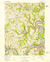
1954 Map of California
USGS Topo · Published 1955About this map
The Monongahela River carves a sharp path through this mid-century industrial landscape, defining the boundaries between Washington and Fayette counties. The river's winding course is the lifeblood of the region, anchored by Lock and Dam No 5 and the prominent Greenfield Bend. Along its banks, the coal industry is evidenced by the Vesta No 6 Mine and Crescent No 3 Mine, which are interconnected by the Pennsylvania railroad network.
Find a feature on this map
91 named features on this map. Tap any name to fly to it.
Don’t see what you’re looking for? This feature index may not catch every label — zoom into the map to look around manually.
Map Details
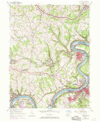
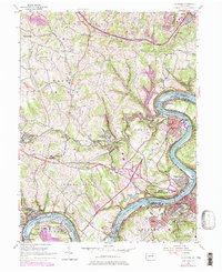
Editions of this 1954 California Map
Other maps of this area

1900 · Masontown
USGS Topo · 1:62,500

1901 · Amity
USGS Topo · 1:62,500

1901 · Waynesburg
USGS Topo · 1:62,500

1902 · Brownsville
USGS Topo · 1:62,500

1903 · Masontown
USGS Topo · 1:62,500

1904 · Amity
USGS Topo · 1:62,500

1904 · Waynesburg
USGS Topo · 1:62,500

1906 · Brownsville
USGS Topo · 1:62,500

1931 · Brownsville
USGS Topo · 1:62,500

1931 · Masontown
USGS Topo · 1:62,500