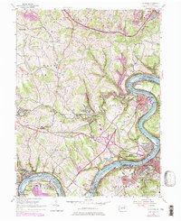
1954 Map of California
USGS Topo · Published 1979About this map
The Monongahela River carves a sharp path through this industrial landscape, where the coal-rich hills of Washington and Fayette counties meet. This 1950s era survey, later updated to show infrastructure like the Conrail lines, captures the dense riverfront development from Brownsville and West Brownsville up through Coal Center and California. The presence of the State Teachers College and California High Sch highlights the area's growth as a regional hub, while numerous small company towns and patches like Daisytown, Walkertown, and Vesta No 6 reflect the heavy influence of the mining industry.
Find a feature on this map
72 named features on this map. Tap any name to fly to it.
Don’t see what you’re looking for? This feature index may not catch every label — zoom into the map to look around manually.
Map Details
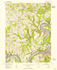
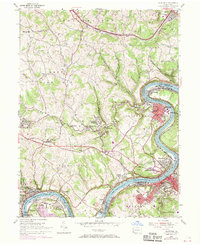
Editions of this 1954 California Map
Other maps of this area

1900 · Masontown
USGS Topo · 1:62,500

1901 · Amity
USGS Topo · 1:62,500

1901 · Waynesburg
USGS Topo · 1:62,500

1902 · Brownsville
USGS Topo · 1:62,500

1903 · Masontown
USGS Topo · 1:62,500

1904 · Amity
USGS Topo · 1:62,500

1904 · Waynesburg
USGS Topo · 1:62,500

1906 · Brownsville
USGS Topo · 1:62,500

1931 · Brownsville
USGS Topo · 1:62,500

1931 · Masontown
USGS Topo · 1:62,500