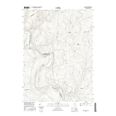
2016 Map of Callicoon
USGS Topo · Published 2016About this map
The Delaware River carves a deep valley along the border of Pennsylvania and New York, anchoring a landscape defined by sharp elevation changes and riverside settlements. This 2016 survey shows the prominent bend near Hankins and the Delaware River Gorge, where the Upper Delaware Scenic and Recreational River corridor preserves the character of the waterway. On the New York side, the village of Callicoon serves as a local hub, with Holy Cross Cem and Tammany Flats nearby.
Find a feature on this map
116 named features on this map. Tap any name to fly to it.
Don’t see what you’re looking for? This feature index may not catch every label — zoom into the map to look around manually.
Map Details
Editions of this 2016 Callicoon Map
This is the sole edition of this map. No revisions or reprints were ever made.
Other maps of this area

1920 · Long Eddy
USGS Topo · 1:62,500

1920 · Damascus
USGS Topo · 1:62,500

1921 · Long Eddy
USGS Topo · 1:48,000

1921 · Livingston Manor
USGS Topo · 1:62,500

1922 · White Lake
USGS Topo · 1:62,500

1923 · Damascus
USGS Topo · 1:62,500

1923 · Long Eddy
USGS Topo · 1:62,500

1923 · Livingston Manor
USGS Topo · 1:62,500

1942 · White Lake
USGS Topo · 1:62,500

1943 · Honesdale
USGS Topo · 1:125,000