
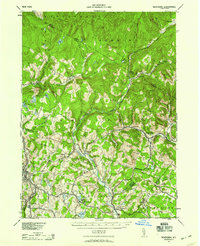
2023 Map of Callicoon
USGS Topo · Published 2023About this map
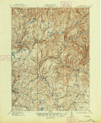
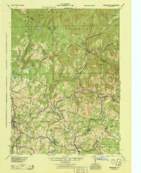
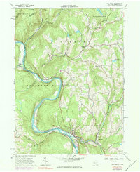
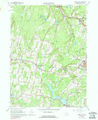
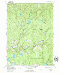
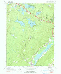
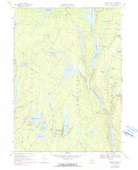
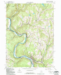
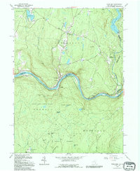
The Delaware River carves a deep valley at the border of New York and Pennsylvania, defining the character of this borderland landscape. The settlement of Callicoon sits at the southern bend, where Callicoon Creek meets the river near the expansive Tammany Flats. The topography is dominated by high ridges like Cherry Ridge and Long Ridge, with numerous small communities and family-named landmarks scattered through the uplands. Local genealogists will find several burial grounds documented, including Holy Cross Cem and the Fremont Center Cem.
Find a feature on this map
117 named features on this map. Tap any name to fly to it.
Don’t see what you’re looking for? This feature index may not catch every label — zoom into the map to look around manually.
Map Details
Editions of this 2023 Callicoon Map
This is the sole edition of this map. No revisions or reprints were ever made.
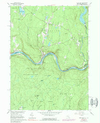
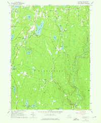
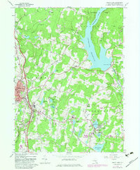
Historical Maps of Abrahamsville Through Time
23 maps found
1910 Neversink
Sullivan County, NY
1942 Neversink
Sullivan County, NY
1944 Neversink
Sullivan County, NY
1965 Callicoon
Sullivan County, NY
1965 Liberty West
Sullivan County, NY
1965 Pond Eddy
Sullivan County, NY
1966 Hartwood
Sullivan County, NY
1966 Liberty East
Sullivan County, NY
1966 Willowemoc
Sullivan County, NY
1966 Yankee Lake
Sullivan County, NY
1967 Highland Lake
Sullivan County, NY
1992 Callicoon
Sullivan County, NY
1992 Pond Eddy
Sullivan County, NY
1997 Pond Eddy
Sullivan County, NY
1997 Willowemoc
Sullivan County, NY
2023 Callicoon
Sullivan County, NY

2023 Hartwood
Sullivan County, NY

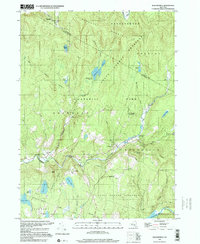
2023 Highland Lake
Sullivan County, NY

2023 Liberty East
Sullivan County, NY

2023 Liberty West
Sullivan County, NY

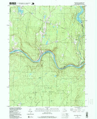
2023 Pond Eddy
Sullivan County, NY

2023 Willowemoc
Sullivan County, NY

2023 Yankee Lake
Sullivan County, NY