2022 Map of Callisburg
USGS Topo · Published 2022About this map
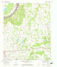
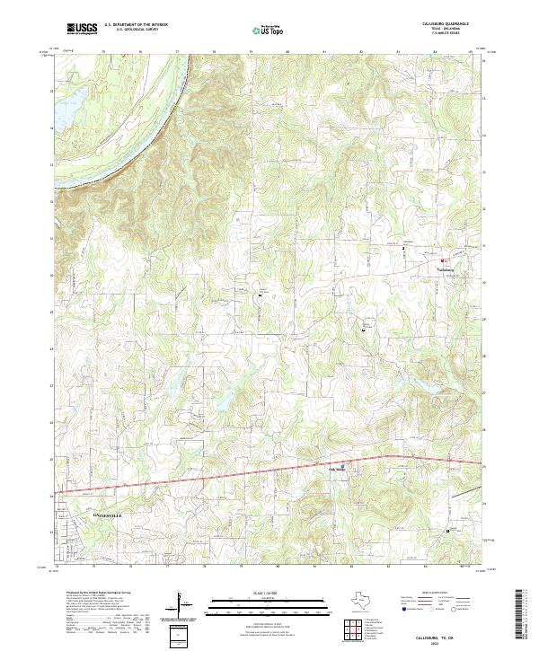
Gainesville anchors the southwest corner of this north Texas landscape, where the terrain slopes toward the Red River boundary with Oklahoma. The settlement pattern is defined by rural communities like Callisburg and Oak Ridge, connected by a network of county roads and farm-to-market routes. Local genealogy is well-represented through several burial sites, including Callisburg Cemetery, Center Hill Cemetery, and Union Hill Cemetery, which serve as quiet landmarks among the creek drainages. The hydrology of the area is quite active, with numerous named waterways such as Timber Creek, Rock Creek, and Indian Creek carving through the land. To the north, Mule Run and Leeper Lake provide distinct geographic points of interest near the river bend, while Lake Dealey sits further east, reflecting the managed water resources of the modern era.
Find a feature on this map
116 named features on this map. Tap any name to fly to it.
Don’t see what you’re looking for? This feature index may not catch every label — zoom into the map to look around manually.
Map Details
Editions of this 2022 Callisburg Map
This is the sole edition of this map. No revisions or reprints were ever made.