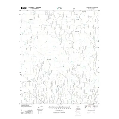
2011 Map of Calloway Butte
USGS Topo · Published 2011About this map
West Clear Creek and its many tributary canyons carve through this high-altitude landscape in the Coconino National Forest. The drainage network is dense, with named corridors like Wilbur Canyon, Bear Canyon, and Pivot Rock Canyon defining the local topography. This region is marked by its numerous stock tanks, a critical element of high-country ranching and land management, with unusually named features such as Toilet Paper Tank, Dirty Name Tank, and Dead Horse Tank scattered across the plateaus.
Find a feature on this map
79 named features on this map. Tap any name to fly to it.
Don’t see what you’re looking for? This feature index may not catch every label — zoom into the map to look around manually.
Map Details
Editions of this 2011 Calloway Butte Map
This is the sole edition of this map. No revisions or reprints were ever made.
Other maps of this area

1887 · Verde
USGS Topo · 1:250,000

1892 · Verde
USGS Topo · 1:250,000

1923 · Camp Verde
USGS Topo · 1:125,000

1929 · Turret Peak
USGS Topo · 1:125,000

1932 · Camp Verde
USGS Topo · 1:125,000

1933 · Turret Peak
USGS Topo · 1:125,000

1934 · Pine
USGS Topo · 1:62,500

1936 · Camp Verde
USGS Topo · 1:125,000

1940 · Pine
USGS Topo · 1:62,500

1952 · Pine
USGS Topo · 1:62,500