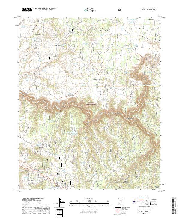
2021 Map of Calloway Butte
USGS Topo · Published 2021About this map
The Coconino National Forest defines the rugged verticality of this region, where the high drainage of the Mogollon Plateau drops sharply into deep incisions. The landscape is characterized by a series of prominent ridges and canyons, most notably West Clear Creek Canyon and Wilbur Canyon, which create significant natural barriers. Historically, travel across this complex terrain was facilitated by routes like the General Crook Trl, located in the southwest corner near Soldier Mesa.
Find a feature on this map
88 named features on this map. Tap any name to fly to it.
Don’t see what you’re looking for? This feature index may not catch every label — zoom into the map to look around manually.
Map Details
Editions of this 2021 Calloway Butte Map
This is the sole edition of this map. No revisions or reprints were ever made.
Other maps of this area

1887 · Verde
USGS Topo · 1:250,000

1892 · Verde
USGS Topo · 1:250,000

1923 · Camp Verde
USGS Topo · 1:125,000

1929 · Turret Peak
USGS Topo · 1:125,000

1932 · Camp Verde
USGS Topo · 1:125,000

1933 · Turret Peak
USGS Topo · 1:125,000

1934 · Pine
USGS Topo · 1:62,500

1936 · Camp Verde
USGS Topo · 1:125,000

1940 · Pine
USGS Topo · 1:62,500

1952 · Pine
USGS Topo · 1:62,500