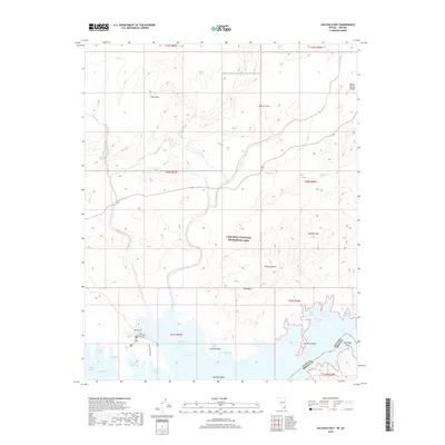
2018 Map of Callville Bay
USGS Topo · Published 2018About this map
Callville Bay and its bustling marina serve as the primary hub for activity along this rugged stretch of the Lake Mead National Recreation Area. The landscape is dominated by complex desert topography, featuring deep drainage systems like Callville Wash, West End Wash, and Borax Wash that cut through the surrounding desert towards the Lake Mead shoreline. The varied terrain includes the striking Bowl of Fire and the Gale Hills to the north, while the southern reaches are defined by a jagged coastline of secluded inlets, including Finger Cove, Rufus Cove, and Swallow Bay. Water sources in this arid environment are sparsely distributed, noted by remote points such as Physic Spring and Cottonwood Spring. This map reveals how the modern recreation economy utilizes the desert's interface with the reservoir, from the heights of Hamblin Mtn down to the submerged features like Flamingo Reef.
Find a feature on this map
42 named features on this map. Tap any name to fly to it.
Don’t see what you’re looking for? This feature index may not catch every label — zoom into the map to look around manually.
Map Details
Editions of this 2018 Callville Bay Map
This is the sole edition of this map. No revisions or reprints were ever made.
Other maps of this area

1886 · Saint Thomas
USGS Topo · 1:250,000

1893 · Saint Thomas
USGS Topo · 1:250,000

1926 · Boulder Canyon
USGS Topo · 1:96,000

1952 · Dry Lake
USGS Topo · 1:62,500

1952 · Henderson
USGS Topo · 1:62,500

1953 · Muddy Peak
USGS Topo · 1:62,500

1953 · Hoover Dam
USGS Topo · 1:62,500

1954 · Las Vegas
USGS Topo · 1:250,000

1957 · Las Vegas
USGS Topo · 1:250,000

1959 · Las Vegas
USGS Topo · 1:250,000