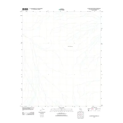
2012 Map of Calumet Mountains
USGS Topo · Published 2012About this map
Calumet Mountains define the stark landscape of this San Bernardino County survey, showing a complex network of arid drainage channels and desert terrain. This 2012 map provides a precise recording of the dry wash systems that descend from the ridges, illustrating the natural hydrological patterns of the Mojave Desert. Minimal human infrastructure is present on this portion of the range, leaving the focus entirely on the topographical contours and the intricate paths of the ephemeral streams that cut through the high-desert basins. The data presented here is synthesized from U.S. Geological Survey records and National Elevation Datasets, offering an exacting look at the physical geography of the region as it existed in the early twenty-first century.
Find a feature on this map
1 named feature on this map. Tap any name to fly to it.
Don’t see what you’re looking for? This feature index may not catch every label — zoom into the map to look around manually.
Map Details
Editions of this 2012 Calumet Mountains Map
This is the sole edition of this map. No revisions or reprints were ever made.
Other maps of this area

1942 · Amboy
USGS Topo · 1:250,000

1943 · Amboy
USGS Topo · 1:250,000

1943 · Cadiz Lake
USGS Topo · 1:62,500

1943 · Cadiz Valley
USGS Topo · 1:62,500

1954 · Needles
USGS Topo · 1:250,000

1954 · Bristol Lake NW
USGS Topo · 1:24,000

1954 · Bristol Lake SW
USGS Topo · 1:24,000

1956 · Needles
USGS Topo · 1:250,000

1956 · Dale Lake
USGS Topo · 1:62,500

1956 · Bristol Lake
USGS Topo · 1:62,500