
1954 Map of Bristol Lake SW
USGS Topo · Published 1955About this map
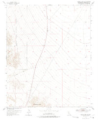
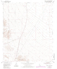
The Marine Corps Training Center occupies the northwestern reaches of this high-desert landscape, reflecting the military's expanding presence in the California desert during the mid-1950s. The terrain is defined by the sharp elevations of the Bullion Mountains to the west and the Sheep Hole Mts in the south, separated by a broad alluvial wash. This map captures a moment when the primary transit through this isolated basin was the north-south Amboy Road, which is punctuated by numerous bench marks tracking the gradual rise from the valley floor. A solitary Jeep Trail winding into the western hills provides the only other path through the arid expanse, suggesting a landscape of limited accessibility used primarily for military training and scientific survey in the post-war era.
Find a feature on this map
5 named features on this map. Tap any name to fly to it.
Don’t see what you’re looking for? This feature index may not catch every label — zoom into the map to look around manually.
Map Details
Editions of this 1954 Bristol Lake SW Map
3 editions found
Other maps of this area

1942 · Amboy
USGS Topo · 1:250,000

1943 · Amboy
USGS Topo · 1:250,000

1954 · Needles
USGS Topo · 1:250,000

1954 · Bristol Lake NW
USGS Topo · 1:24,000

1955 · Lead Mtn. NE
USGS Topo · 1:24,000
1955 · Cleghorn Lakes
USGS Topo · 1:24,000

1955 · Lead Mountain
USGS Topo · 1:62,500

1956 · Needles
USGS Topo · 1:250,000

1956 · Dale Lake
USGS Topo · 1:62,500

1956 · Bristol Lake
USGS Topo · 1:62,500