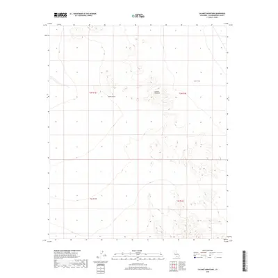
2018 Map of Calumet Mountains
USGS Topo · Published 2018About this map
Calumet Mountains rise from the eastern floor of the Mojave Desert in this high-desert region of San Bernardino County. The landscape is defined by the stark transition between the alluvial fans of the Cadiz Valley and the uplifted terrain to the west. This 2018 survey detail provides a precise view of the topography within several Public Land Survey System townships, including t3n r13e and t3n r14e. The area is characterized by its isolation and the intricate drainage patterns that carve through the desert floor, offering a clear record of the region's natural boundaries and land divisions as they existed in the late 2010s.
Find a feature on this map
7 named features on this map. Tap any name to fly to it.
Don’t see what you’re looking for? This feature index may not catch every label — zoom into the map to look around manually.
Map Details
Editions of this 2018 Calumet Mountains Map
This is the sole edition of this map. No revisions or reprints were ever made.
Other maps of this area

1942 · Amboy
USGS Topo · 1:250,000

1943 · Amboy
USGS Topo · 1:250,000

1943 · Cadiz Lake
USGS Topo · 1:62,500

1943 · Cadiz Valley
USGS Topo · 1:62,500

1954 · Needles
USGS Topo · 1:250,000

1954 · Bristol Lake NW
USGS Topo · 1:24,000

1954 · Bristol Lake SW
USGS Topo · 1:24,000

1956 · Needles
USGS Topo · 1:250,000

1956 · Dale Lake
USGS Topo · 1:62,500

1956 · Bristol Lake
USGS Topo · 1:62,500