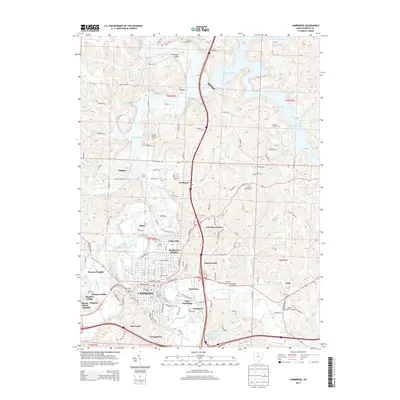
2013 Map of Cambridge
USGS Topo · Published 2013About this map
The city of Cambridge serves as the focal point of this Guernsey County survey, where the convergence of Wills Creek and Leatherwood Cr shapes the local topography. This 2013 edition illustrates a landscape balanced between established urban neighborhoods like Henderson Heights and Eastmoor and the expanding waters of Salt Fork Lake to the northeast. Historical roots are clearly visible in the numerous burial grounds documented, including the Founders Cem and Old City Cem, which anchor the central district's history.
Find a feature on this map
145 named features on this map. Tap any name to fly to it.
Don’t see what you’re looking for? This feature index may not catch every label — zoom into the map to look around manually.
Map Details
Editions of this 2013 Cambridge Map
This is the sole edition of this map. No revisions or reprints were ever made.
Other maps of this area

1909 · Antrim
USGS Topo · 1:48,000

1909 · Summerfield
USGS Topo · 1:62,500

1909 · Cambridge
USGS Topo · 1:62,500

1911 · Antrim
USGS Topo · 1:62,500

1911 · Cumberland
USGS Topo · 1:62,500

1911 · Summerfield
USGS Topo · 1:62,500

1912 · Cambridge
USGS Topo · 1:62,500

1949 · Clarksburg
USGS Topo · 1:250,000

1951 · Canton
USGS Topo · 1:250,000

1953 · Canton
USGS Topo · 1:250,000