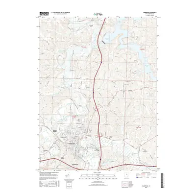
2016 Map of Cambridge
USGS Topo · Published 2016About this map
Cambridge serves as the focal point of this Guernsey County landscape, where the confluence of Wills Creek and Crooked Creek shaped the early layout of the town. The residential patterns of Browns Heights, Northwood, and East Cambridge reflect the 20th-century expansion of the city beyond its original core. Genealogists will find several significant burial sites documented, including Old City Cem and Founders Cem, which sit near the city center, while Bells Cem and Pleasant Hill Cem are located in more rural contexts to the north and east.
Find a feature on this map
127 named features on this map. Tap any name to fly to it.
Don’t see what you’re looking for? This feature index may not catch every label — zoom into the map to look around manually.
Map Details
Editions of this 2016 Cambridge Map
This is the sole edition of this map. No revisions or reprints were ever made.
Other maps of this area
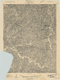
1909 · Antrim
USGS Topo · 1:48,000
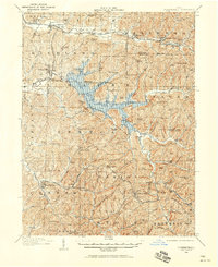
1909 · Summerfield
USGS Topo · 1:62,500

1909 · Cambridge
USGS Topo · 1:62,500
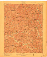
1911 · Antrim
USGS Topo · 1:62,500
1911 · Cumberland
USGS Topo · 1:62,500
1911 · Summerfield
USGS Topo · 1:62,500
1912 · Cambridge
USGS Topo · 1:62,500

1949 · Clarksburg
USGS Topo · 1:250,000

1951 · Canton
USGS Topo · 1:250,000

1953 · Canton
USGS Topo · 1:250,000