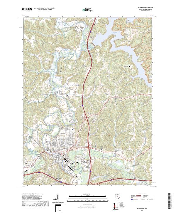
2023 Map of Cambridge
USGS Topo · Published 2023About this map
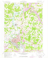
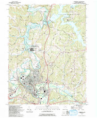
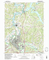
Cambridge serves as the regional anchor of this landscape, where the Guernsey County Courthouse marks the center of a well-defined grid of residential and commercial streets. The city's northern and western edges are defined by the meandering path of Wills Creek, while the surrounding terrain rises into distinctive ridges such as Battle Ridge and Slaughter Hill Road. This topography has historically influenced the placement of early settlements and family burial grounds, including the Old City Cem and Founders Cem within the city limits, and the more remote Bells Cem to the north.
Find a feature on this map
171 named features on this map. Tap any name to fly to it.
Don’t see what you’re looking for? This feature index may not catch every label — zoom into the map to look around manually.
Map Details
Editions of this 2023 Cambridge Map
This is the sole edition of this map. No revisions or reprints were ever made.
Historical Maps of Tyner Through Time
6 maps found