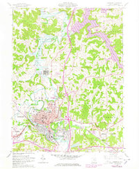
1962 Map of Cambridge
USGS Topo · Published 1978About this map
Cambridge serves as the industrial and civic anchor of this 1962 landscape, situated where the Baltimore and Ohio and Penn Central railroads intersect near the meandering Wills Creek. The map documents a dense concentration of community infrastructure in the mid-century, including the sprawling Cambridge State Hospital complex and several neighborhood institutions like Lincoln Sch and Oakland Sch. Beyond the city limits, the landscape shifts into the coal-producing hills of Center and Jefferson townships.
Find a feature on this map
59 named features on this map. Tap any name to fly to it.
Don’t see what you’re looking for? This feature index may not catch every label — zoom into the map to look around manually.
Map Details
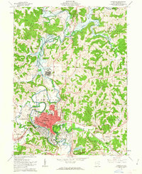
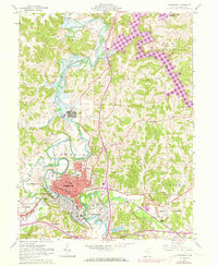
Editions of this 1962 Cambridge Map
3 editions found
Other maps of this area

1909 · Antrim
USGS Topo · 1:48,000

1909 · Summerfield
USGS Topo · 1:62,500

1909 · Cambridge
USGS Topo · 1:62,500

1911 · Antrim
USGS Topo · 1:62,500

1911 · Cumberland
USGS Topo · 1:62,500

1911 · Summerfield
USGS Topo · 1:62,500

1912 · Cambridge
USGS Topo · 1:62,500

1949 · Clarksburg
USGS Topo · 1:250,000

1951 · Canton
USGS Topo · 1:250,000

1953 · Canton
USGS Topo · 1:250,000