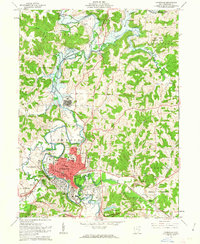
1962 Map of Cambridge
USGS Topo · Published 1963About this map
The city of Cambridge serves as a major regional hub in the early 1960s, defined by its complex intersection of transportation and industry. The Baltimore and Ohio and Pennsylvania railroads converge near the city center, supporting local commerce alongside the development of Harrison Ave. To the north, the sprawling campus of the Cambridge State Hospital occupies a significant portion of the landscape, while residential growth is evident in outlying areas like Fairdale and East Cambridge.
Find a feature on this map
54 named features on this map. Tap any name to fly to it.
Don’t see what you’re looking for? This feature index may not catch every label — zoom into the map to look around manually.
Map Details
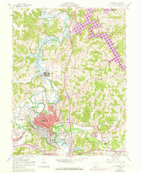
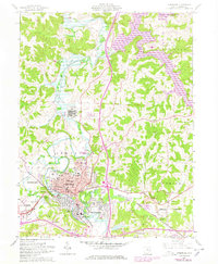
Editions of this 1962 Cambridge Map
3 editions found
Other maps of this area

1909 · Antrim
USGS Topo · 1:48,000

1909 · Summerfield
USGS Topo · 1:62,500

1909 · Cambridge
USGS Topo · 1:62,500

1911 · Antrim
USGS Topo · 1:62,500

1911 · Cumberland
USGS Topo · 1:62,500

1911 · Summerfield
USGS Topo · 1:62,500

1912 · Cambridge
USGS Topo · 1:62,500

1949 · Clarksburg
USGS Topo · 1:250,000

1951 · Canton
USGS Topo · 1:250,000

1953 · Canton
USGS Topo · 1:250,000