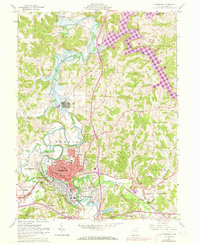
1962 Map of Cambridge
USGS Topo · Published 1973About this map
Cambridge and its surrounding Guernsey County townships are depicted during a period of transition, as new infrastructure began to reshape the landscape. The northern portion of the map is dominated by the Salt Fork Lake and the Salt Fork Wildlife Area, showing the inundation areas created by the Salt Fork Dam. In contrast to this modern recreation area, the city itself remains centered on its civic identity, anchored by the Courthouse and a dense network of local schools like Oakland Sch and Lincoln Sch.
Find a feature on this map
55 named features on this map. Tap any name to fly to it.
Don’t see what you’re looking for? This feature index may not catch every label — zoom into the map to look around manually.
Map Details
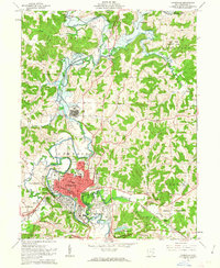
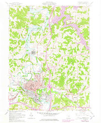
Editions of this 1962 Cambridge Map
3 editions found
Other maps of this area

1909 · Antrim
USGS Topo · 1:48,000

1909 · Summerfield
USGS Topo · 1:62,500

1909 · Cambridge
USGS Topo · 1:62,500

1911 · Antrim
USGS Topo · 1:62,500

1911 · Cumberland
USGS Topo · 1:62,500

1911 · Summerfield
USGS Topo · 1:62,500

1912 · Cambridge
USGS Topo · 1:62,500

1949 · Clarksburg
USGS Topo · 1:250,000

1951 · Canton
USGS Topo · 1:250,000

1953 · Canton
USGS Topo · 1:250,000