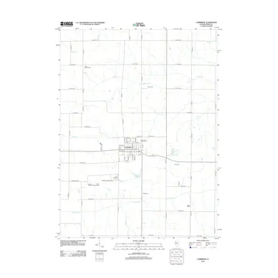
2012 Map of Cambridge
USGS Topo · Published 2012About this map
Cambridge serves as the central hub of this West Central Illinois landscape, organized by a rigid grid of county roads and agricultural plots. The village's detailed street plan includes the Henry County Fairgrounds on its eastern edge, while the surrounding countryside is dotted with small family and community burial grounds like Grace Episcopal Cem and Munson Cem. To the south, the Edwards River meanders across the territory, joined by tributaries such as Hillery Cr and Camp Cr. The local aviation history of Henry County is evident through specialized sites like the Wheatley Landing Strip and Boyd Wheatleys Farm Airport located west of the main settlement. Small communities and landmarks, including Ulah and Valley View Club Lake, offer focal points for genealogical research and local history within this predominantly rural township structure.
Find a feature on this map
50 named features on this map. Tap any name to fly to it.
Don’t see what you’re looking for? This feature index may not catch every label — zoom into the map to look around manually.
Map Details
Editions of this 2012 Cambridge Map
This is the sole edition of this map. No revisions or reprints were ever made.
Other maps of this area

1931 · Galva
USGS Topo · 1:48,000

1934 · Geneseo
USGS Topo · 1:62,500

1937 · Orion
USGS Topo · 1:62,500

1940 · Galva
USGS Topo · 1:62,500

1944 · Galva
USGS Topo · 1:62,500

1947 · Woodhull
USGS Topo · 1:62,500

1953 · Nekoma
USGS Topo · 1:24,000

1953 · Woodhull
USGS Topo · 1:24,000

1953 · German Corner
USGS Topo · 1:24,000
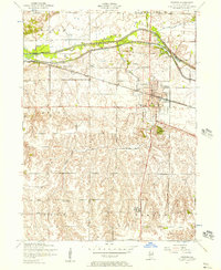
1953 · Geneseo
USGS Topo · 1:24,000