2023 Map of Cambridge Springs
USGS Topo · Published 2023About this map
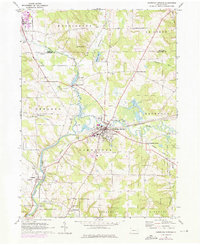
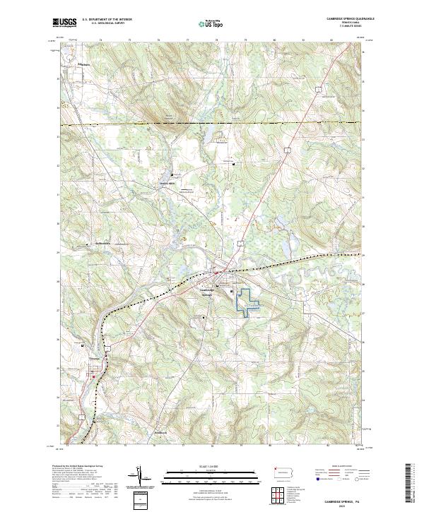
French Creek and its many tributaries, including Conneauttee Creek and Little Conneauttee Creek, define the drainage patterns of this corner of Crawford County. The landscape is dotted with several distinct historic settlements, most notably the borough of Cambridge Springs, which serves as a central hub for the surrounding rural communities of Venango, Woodcock, and Drakes Mills. The map also captures the transition across the Erie Co Crawford Co line, showing the southern reach of Edinboro near the northern boundary.
Find a feature on this map
94 named features on this map. Tap any name to fly to it.
Don’t see what you’re looking for? This feature index may not catch every label — zoom into the map to look around manually.
Map Details
Editions of this 2023 Cambridge Springs Map
This is the sole edition of this map. No revisions or reprints were ever made.
Historical Maps of Venango Township Through Time
5 maps found