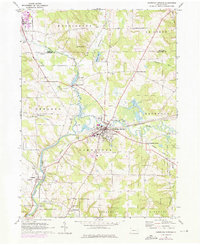
1968 Map of Cambridge Springs
USGS Topo · Published 1976About this map
Cambridge Springs serves as the focal point of this Northwest Pennsylvania landscape, situated at a prominent bend in French Creek. The town's educational and civic character is defined by the presence of Alliance College and the local High Sch, while the surrounding rural townships of Cambridge, Rockdale, and Venango maintain a network of small settlements and family-named landmarks. The era is one of transition, where established rural sites like Drakes Mills and Skelton town are situated alongside modern additions like the Trailer Park and Golf Course near the creek.
Find a feature on this map
43 named features on this map. Tap any name to fly to it.
Don’t see what you’re looking for? This feature index may not catch every label — zoom into the map to look around manually.
Map Details
Editions of this 1968 Cambridge Springs Map
2 editions found
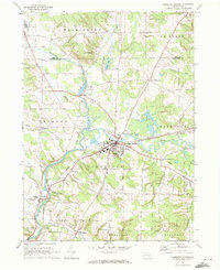
Other maps of this area

1923 · Meadville
USGS Topo · 1:62,500

1923 · Cambridge Springs
USGS Topo · 1:62,500

1925 · Meadville
USGS Topo · 1:62,500

1925 · Cambridge Springs
USGS Topo · 1:62,500

1927 · Townville
USGS Topo · 1:48,000

1929 · Union City
USGS Topo · 1:62,500

1932 · Townville
USGS Topo · 1:62,500

1932 · Union City
USGS Topo · 1:62,500

1943 · Meadville
USGS Topo · 1:62,500

1943 · Cambridge Springs
USGS Topo · 1:62,500