
1901 Map of Camden
USGS Topo · Published 1901About this map
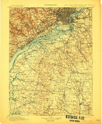
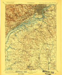
The Delaware River serves as the central artery for this turn-of-the-century landscape, connecting the industrial corridors of Pennsylvania and New Jersey. At this time, the riverbanks are heavily developed with transit and industry, visible where the Schuylkill River joins the Delaware. Further inland, the map reveals a shift toward smaller-scale milling and rural crossroads. The prevalence of milling operations such as Sycamore Mills, Lenni Mills, and Ivy Mills suggests an economy still deeply rooted in local water power and regional production.
Find a feature on this map
247 named features on this map. Tap any name to fly to it.
Don’t see what you’re looking for? This feature index may not catch every label — zoom into the map to look around manually.
Map Details
Editions of this 1901 Camden Map
3 editions found
Other maps of this area

1888 · Mount Holly
USGS Topo · 1:62,500

1890 · Hammonton
USGS Topo · 1:62,500

1890 · Salem
USGS Topo · 1:62,500

1890 · Tuckahoe
USGS Topo · 1:62,500

1890 · Bay Side
USGS Topo · 1:62,500

1890 · Bridgeton
USGS Topo · 1:62,500

1890 · Burlington
USGS Topo · 1:62,500

1890 · Glassboro
USGS Topo · 1:62,500

1891 · Philadelphia
USGS Topo · 1:62,500

1893 · Germantown
USGS Topo · 1:62,500