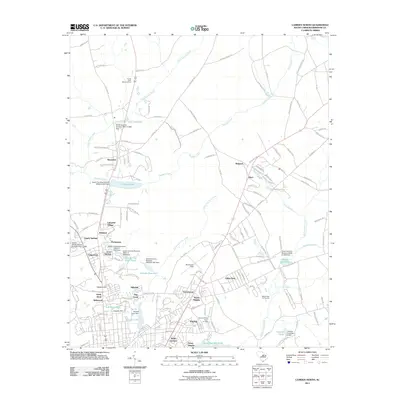
2011 Map of Camden North
USGS Topo · Published 2011About this map
Kendall Lake and the surrounding residential communities of Kirkwood and Fairfax define the northern expansion of Camden in this 2011 topographic record. The landscape is characterized by a sophisticated network of water management, ranging from the industrial legacy of Hermitage Mill Pond and Adams Mill Pond to the civic utility of the Camden Reservoir. Significant local landmarks include the historic rise of Hobkirk Hill and the municipal grounds at Woodward Field.
Find a feature on this map
162 named features on this map. Tap any name to fly to it.
Don’t see what you’re looking for? This feature index may not catch every label — zoom into the map to look around manually.
Map Details
Editions of this 2011 Camden North Map
This is the sole edition of this map. No revisions or reprints were ever made.
Other maps of this area

1935 · Camden
USGS Topo · 1:48,000

1938 · Camden
USGS Topo · 1:62,500

1938 · Hagood
USGS Topo · 1:62,500

1941 · Spartanburg
USGS Topo · 1:250,000

1942 · Camden
USGS Topo · 1:125,000

1953 · Camden South
USGS Topo · 1:24,000

1953 · Lugoff
USGS Topo · 1:24,000

1953 · Spartanburg
USGS Topo · 1:250,000

1957 · Ashwood
USGS Topo · 1:62,500

1960 · Spartanburg
USGS Topo · 1:250,000