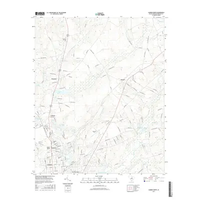
2017 Map of Camden North
USGS Topo · Published 2017About this map
Camden and its northern surroundings are defined by a complex network of springs, mill ponds, and historical neighborhoods. The area around Hobkirk Hill and Jumelle Hill serves as a reminder of the geography that once shaped local commerce and settlement patterns. Numerous water sources, including Jumelle Spring, Green Spring, and Brevards Spring, are clustered near Kirkwood and Dusty Bend, suggesting a landscape historically rich in natural water resources.
Find a feature on this map
126 named features on this map. Tap any name to fly to it.
Don’t see what you’re looking for? This feature index may not catch every label — zoom into the map to look around manually.
Map Details
Editions of this 2017 Camden North Map
This is the sole edition of this map. No revisions or reprints were ever made.
Other maps of this area

1935 · Camden
USGS Topo · 1:48,000

1938 · Camden
USGS Topo · 1:62,500

1938 · Hagood
USGS Topo · 1:62,500

1941 · Spartanburg
USGS Topo · 1:250,000

1942 · Camden
USGS Topo · 1:125,000

1953 · Camden South
USGS Topo · 1:24,000

1953 · Lugoff
USGS Topo · 1:24,000

1953 · Spartanburg
USGS Topo · 1:250,000

1957 · Ashwood
USGS Topo · 1:62,500

1960 · Spartanburg
USGS Topo · 1:250,000