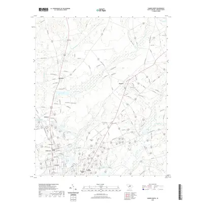
2020 Map of Camden North
USGS Topo · Published 2020About this map
Camden and its northern surroundings are defined by a complex hydraulic landscape where numerous springs and creeks feed into larger reservoirs and ponds. This survey documents a sophisticated network of water features, including the Jumelle Spring, Brevards Spring, and the expansive Cool Springs Upper Pond. The topography is anchored by Hobkirk Hill, a site of significant local importance, rising above the residential developments of Kirkwood and Jumelle Hill. North of the city center, the terrain transitions into more rural clusters such as Shamokin and Shepard, separated by the winding course of Sanders Cr. The presence of Woodward Field and Forest Lawn Memorial Park indicates the area's development as a regional hub, while the numerous ponds like Sinclairs Pond and Tidwells Pond reveal the persistent importance of water management in this South Carolina landscape.
Find a feature on this map
214 named features on this map. Tap any name to fly to it.
Don’t see what you’re looking for? This feature index may not catch every label — zoom into the map to look around manually.
Map Details
Editions of this 2020 Camden North Map
This is the sole edition of this map. No revisions or reprints were ever made.
Other maps of this area

1935 · Camden
USGS Topo · 1:48,000

1938 · Camden
USGS Topo · 1:62,500

1938 · Hagood
USGS Topo · 1:62,500

1941 · Spartanburg
USGS Topo · 1:250,000

1942 · Camden
USGS Topo · 1:125,000

1953 · Camden South
USGS Topo · 1:24,000

1953 · Lugoff
USGS Topo · 1:24,000

1953 · Spartanburg
USGS Topo · 1:250,000

1957 · Ashwood
USGS Topo · 1:62,500

1960 · Spartanburg
USGS Topo · 1:250,000